_-_geograph.org.uk_-_3215076.jpg)
What is recorded here
The official Northern Ireland record identifies this as a Grade B+ listed building. Recorded construction date: 1820 - 1839. Current recorded use: Church.
The official record and map point do not grant access. Many historic buildings are privately owned; view them only from public ground unless the owner allows entry.
Places near here
 A.P. SITEA.P. SITE, enclosure · 313 yd
_-_geograph.org.uk_-_3320343.jpg?width=1280) Horseshoe ShopShop · 350 yd
Horseshoe ShopShop · 350 yd_-_geograph.org.uk_-_3214931.jpg?width=1280) Massereene BridgeBridge · 374 yd
Massereene BridgeBridge · 374 yd C17th CASTLE: ANTRIM CASTLE in Town Parks (antrim)C17th CASTLE: ANTRIM CASTLE · 734 yd
 Antrim CastleCastle · 760 yd
 Garden Heritage ExhibitionMuseum · 1015 yd
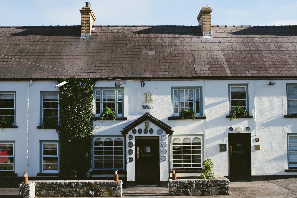 ENCLOSURE in BallooENCLOSURE · 1066 yd
 Rea's WoodWood · 1468 yd
 2009 Massereene Barracks shootingterrorist attack · 1550 yd
 Antrim BayBay · 2.0 mi
 Farr's BayBay · 3.6 mi
 Randalstown ForestForest · 4.0 mi
Other information
Photo: Albert Bridge · CC BY-SA 2.0