What is recorded here
Donald's cairn still stands in Gransha and Ballymuldrogh, a small heap of stones marked post-medieval but uncertain in true age. The name suggests one man, one gesture, perhaps a boundary or a memory dropped into the field. The stones may have belonged to a farm road, a lost grave, or a child's game grown old. They remain because people kept seeing them as Donald's, not as ordinary rubble.
The official Northern Ireland record identifies this as CAIRN: DONALD'S CAIRN or CARN. Recorded period: POST-MED; UNCERTAIN. The official map point was placed at the centre of the recorded archaeological site from the source map reference.
The monument record does not grant public access. Check the route and ask the landowner before entering private land.
- What survives
- Recorded monument
Places near here
 Gordon's LeapBay · 966 yd
 CavesCave · 987 yd
 Otter CaveCave · 990 yd
 the gobbins pathHeritage attraction · 1062 yd
 Enclosure (Possible); Folly or Tree Ring (Possible) in BallykeelEnclosure (Possible); Folly or Tree Ring (Possible) · 1289 yd
 CHURCH (site of): CHAPELFIELD or THE EUGHS in BallykeelCHURCH (site of): CHAPELFIELD or THE EUGHS · 1598 yd
 Muldersleigh HillMountain / peak · 2.5 mi
 Blackhead LighthouseLight House/ Navigation Mark · 2.8 mi
 Blackhead Co. Antrim LighthouseLighthouse · 2.8 mi
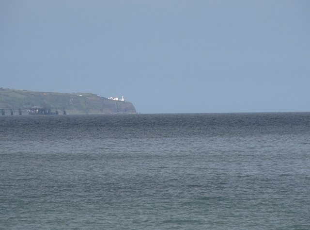 BlackheadHeadland · 2.9 mi
 Isle of MuckIsland · 2.9 mi
 CASTLE in PortmuckCASTLE · 2.9 mi