What is recorded here
Cairn is a cairn, clearance cairn in Tonlegee (ballintober South By., Cams Ed), County Roscommon, Ireland. The grass-covered mound measures 5.5 metres north to south and 4 metres east to west, reaching 0.3 metres in height at the centre of two nested enclosures. It may be a clearance cairn or the remains of a house, though the distinction has not been resolved.
In a low-lying landscape at the bottom of a N-facing slope. There is a rectangular grass-covered cairn (dims 5.5m N-S; 4m E-W; H 0.3m) at the centre of rectangular enclosure (RO035-110002-) which is at the centre of the large enclosure (RO035-110001-). It may be a clearance cairn or the remains of a house.
Compiled by: Michael Moore
Date of revised upload: 27 September 2017
The monument record does not grant public access. Check the route and ask the landowner before entering private land.
- What survives
- Recorded monument
Places near here
 Enclosure in Tonlegee (ballintober South By., Cams Ed)Enclosure · 5 yd
 IndicatedFairy fort / earthen ringfort · 595 yd
 Fortview Househouse · 2.1 mi
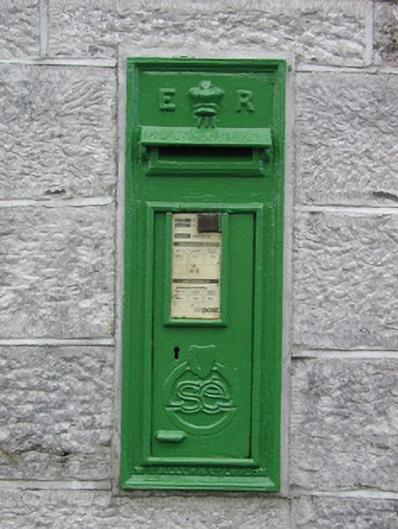 post boxpost box · 2.1 mi
 CastleCastle, unclassified · 3.6 mi
 Roscommon CastleCastle · 3.6 mi
 Leitrim CastleCastle, unclassified · 3.8 mi
 HawthornHawthorn · 4.3 mi
 European ashEuropean ash · 5.0 mi
 Sally IslandIslet · 8.4 mi
 Site of Killomaine Grave YardArchaeological place · 8.8 mi
 Mount MaryMountain / peak · 9.9 mi