
What is recorded here
Thirty metres of forgotten stone circle still holds the summit of Windmill Hill, waiting beneath grass and wind. A windmill stands inside its southern edge, turning the old burial ground into a stage for modern breath. The hill drops away on every side, forcing anyone who climbs it to see far before remembering who sleeps below.
On the summit of Windmill Hill, is a broad low circular cairn, (Diam 40m ; H 1.5m ) commanding extensive views in all directions. The cairn is grass covered and was first reported by Ó Lionáin and Davis having been identified in 2014 from lidar survey and analysis (see attachment DU021-013----_2). On the southern quadrant of the denuded cairn is a windmill (DU021-038----). Both monuments lie directly NNE of an enclosure identified by geophysical analysis (Target 2018) DU021-114----. which itself sits centrally within a ceremonial enclosure DU021-115---- . The cairn is situated off-centre within another enclosure (DU021-116----) which can be traced intermittently following the contours of the ridge on of Windmill hill, possibly representing a hillfort first reported by O’ Lionáin and Davis. Approximately 150m to the SE of the cairn, beyond both enclosing monuments, is a ring-ditch DU021- 117----.
Compiled by: Margaret Keane
Updated on: 29 November 2018
Burial cairn, likely dating to the Neolithic or early Bronze Age. Its elevated position suggests ritual or symbolic significance, possibly as a territorial marker or ceremonial site.
The monument record does not grant public access. Check the route and ask the landowner before entering private land.
- What survives
- Recorded monument
Places near here
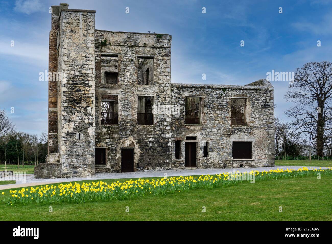 Ceremonial enclosure in WindmillhillCeremonial enclosure · 15 yd
 BarrowBarrow, ring-barrow · 633 yd
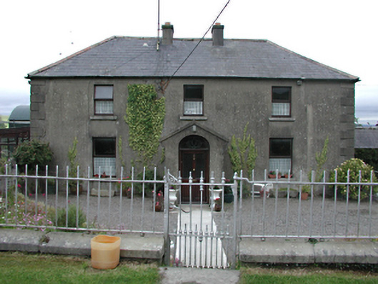 Keatingspark Housefarm house · 828 yd
 Colmanstown Castle (in ruins)Castle, tower house · 917 yd
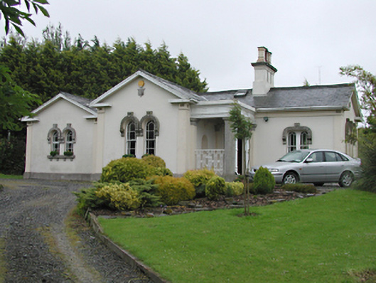 Steelstown Lodgegate lodge · 967 yd
 Athgoe HillMountain / peak · 1.2 mi
 Inniscara GalleryGallery · 1.4 mi
 Rathcoole WoodlandWood · 1.7 mi
 CastleCastle, tower house · 1.9 mi
 Saint Finian's WellSpring · 1.9 mi
 Saggart HillMountain / peak · 2.0 mi
 European YewEuropean Yew · 2.1 mi
Other information
Photo: Credit not shown in the picture search · Rights wording not checked; contact us if this picture should be removed