What is recorded here
Situated on on the S slopes of Piperstown Hill. A cairn known as Site K. ‘Site K: Before excavation this site appeared as an irregular, low cairn of stones, measuring about 3.50 – 4.0 m. in diameter and about 50 cm. in maximum height.’ Excavations in 1962 revealed that the cairn was demarcated by six orthostats set at intervals around its perimeter. These varied from 0.43m to 0.58m in height and five of the six were inclined outwards, apparently pushed out by the weight of the cairn. Centrally set within the cairn was a circular, flat-bottomed pit which, though disturbed, contained a layer of charcoal and created bone at the bottom. Lying on the northern edge of the bone deposit was a small flake of whitish-grey flint' (Rynne and Ó hEailidhe 1965, 66-9, 77). This is part of an extensive settlement and cemetery of Late Neolithic/Early Bronze Age date.
Situated on on the S slopes of Piperstown Hill. A cairn known as Site K. ‘Site K: Before excavation this site appeared as an irregular, low cairn of stones, measuring about 3.50 – 4.0 m. in diameter and about 50 cm. in maximum height.’ Excavations in 1962 revealed that the cairn was demarcated by six orthostats set at intervals around its perimeter. These varied from 0.43m to 0.58m in height and five of the six…
From the National Monuments Service (Archaeological Survey of Ireland) record DU025-019001
The monument record does not grant public access. Check the route and ask the landowner before entering private land.
- What survives
- Recorded monument
Places near here
Habitation site in PiperstownHabitation site · 11 ydFeatherbed ForestForest · 780 ydSaint Ann's WellSpring · 874 yd bridge924 ydGlenasmole CottageFarm house · 1014 yd(Site of) St Anns ChapelEcclesiastical site · 1052 ydSaint Ann's GraveyardRuins · 1066 ydDublin Mountains Way - Hellfire & Massey spurWalking route · 1444 ydMontpelier HillMountain / peak · 1.1 miMassey WoodWood · 1.3 miBallymorefinn HillMountain / peak · 1.6 miNoel Lemass MemorialMemorial · 1.8 mi
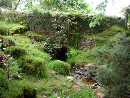 bridge924 yd
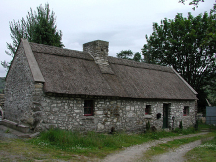 Glenasmole CottageFarm house · 1014 yd(Site of) St Anns ChapelEcclesiastical site · 1052 ydSaint Ann's GraveyardRuins · 1066 ydDublin Mountains Way - Hellfire & Massey spurWalking route · 1444 yd
 Montpelier HillMountain / peak · 1.1 mi
 Massey WoodWood · 1.3 mi
 Ballymorefinn HillMountain / peak · 1.6 mi
 Noel Lemass MemorialMemorial · 1.8 mi
Pictures: National Inventory of Architectural Heritage; Joe King, Wikimedia Commons · CC BY-SA 3.0; Alan James, Geograph · CC BY-SA 2.0; JP, Geograph · CC BY-SA 2.0
More archaeology and monuments in County Dublin · All of County Dublin
What do you know about this place?