What is recorded here
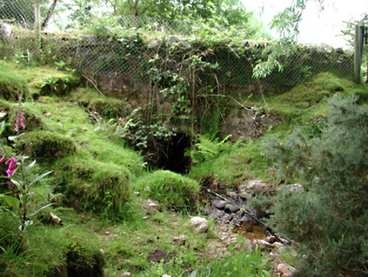
Rubble stone road bridge over stream, c.1900, with single flat-headed opening. Rubble parapets and copings. Concrete revetment to east, steep incline to west. Storm drain in west parapet. Spring with boulder rises to south-east.
An unusual group of water features and courses, with a modest rubble stone bridge acting as the locus on this northern approach to the nearby clachan.
This does not grant access. Most recorded buildings are privately owned; view them only from public ground unless the owner allows entry.
Places near here
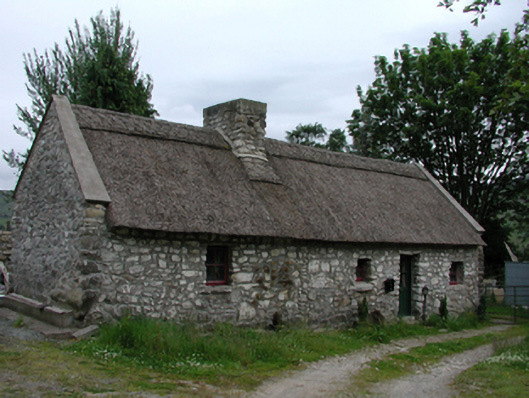 Glenasmole Cottagefarm house · 106 yd
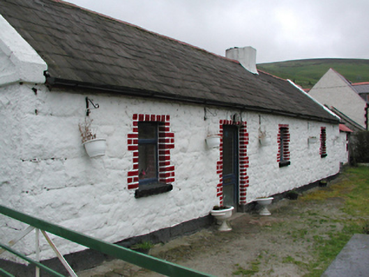 farm housefarm house · 661 yd
 (Site of) St Anns ChapelEcclesiastical site · 715 yd
 Saint Ann's GraveyardRuins · 719 yd
 Saint Ann's WellSpring · 739 yd
 CastleCastle, unclassified · 744 yd
 Field system in CunardField system · 846 yd
 SpinkeenMountain / peak · 1260 yd
 Featherbed ForestForest · 1409 yd
 Dublin Mountains Way - Hellfire & Massey spurWalking route · 1.3 mi
 Ballymorefinn HillMountain / peak · 1.3 mi
 Dublin Mountains Way Hellfire & Massey SpurWalking route · 1.4 mi
Other information
Photo: National Inventory of Architectural Heritage · Website use allowed for educational or private purposes with source credit