What is recorded here
No. I must use the provided facts. I will not invent that it is gone or mislabel the preserved measurement.
Situated on rise of ground with good views to N. Present remains consist of standing stone (DG011-016----) rising from SE side of possible low flat-topped cairn (diam. 7m N-S; H 0.4m) with kerb stones visible along egde of cairn on SE side only.
Compiled by: Caimin O'Brien
Date of upload: 21 October 2015
Neolithic burial cairn, dating to approximately 4000–2500 BCE. Its significance lies in its kerb stones and associated standing stone, which are indicative of early ritual and funerary practices in the region.
The monument record does not grant public access. Check the route and ask the landowner before entering private land.
- What survives
- Recorded monument
Places near here
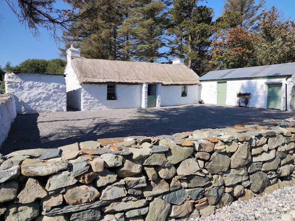 Enclosure in GlenmakeeEnclosure · 1139 yd
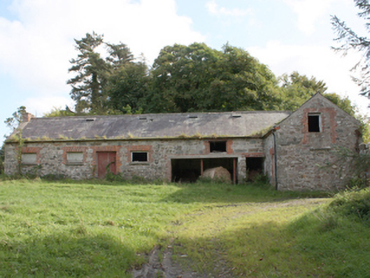 Donagh Church of Ireland Rectoryoutbuilding · 1139 yd
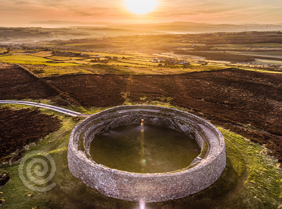 Former Altashane / Cabadooey Fairy FortFairy fort / ringfort · 1288 yd
 AltarPenal Mass station · 1.2 mi
 Carndonagh Early Church GraveyardGraveyard · 1.7 mi
 Dough Famine VillageHeritage attraction · 3.2 mi
 Doagh Famine VillageMuseum · 3.2 mi
 CastleCastle, unclassified · 3.4 mi
 Five Finger StrandBeach / strand · 3.8 mi
 Lag GraveyardGraveyard · 3.9 mi
 Bawn in CarrickabraghyBawn · 4.3 mi
 Wee Slieve SnaghtMountain / peak · 4.4 mi