What is recorded here
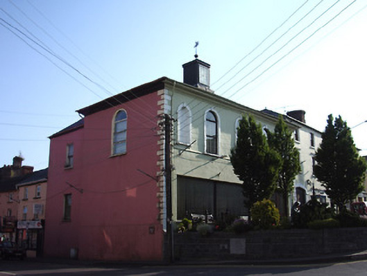
End-of-terrace five-bay two-storey former market house, built c. 1770, with slightly lower and slightly recessed two-storey annex to rear. Later used as courthouse and currently in use as library and courthouse. Reconstructed, refurbished and reconverted into courthouse with library on ground floor in 1984. Hipped slate roof with wide stone flag eaves course, clock lantern with weather vane and cast-iron rainwater goods. Painted rendered walls with render quoins and moulded cornice to eaves. Round-headed window openings to first floor, flanked by round-headed niches with higher sills, all having render surrounds with triple keystones and painted sills, with impost course to niches. Replacement uPVC windows. Most of ground floor broken out to form large square-headed openings with timber and glazed double-leaf entrance door and fixed uPVC window with painted sill. Round-headed window opening to west elevation with replacement window and square-headed windows to west elevation of annex with timber sliding sash one-over-one pane windows and painted sills. Paved area to front of building.
This building provides the civic focus to The Square and although its ground floor has been compromised, its still has a strong presence in this fine public space. The symmetrical first floor with round-headed windows and niches is unusual in the town and suggests an important building. The paved area to the front recognises the civic nature of the building which stands as a counterpoint to the former Cahir House at the opposite end of The Square.
This does not grant access. Most recorded buildings are privately owned; view them only from public ground unless the owner allows entry.
Places near here
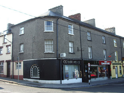 Corner Househouse · 36 yd
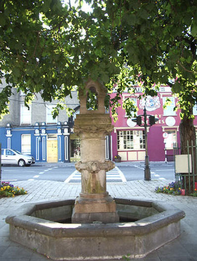 Charteris Memorial Fountainfountain · 55 yd
 Cahir CastleHeritage attraction · 240 ydSiege of Cahir Castlesiege · 379 yd
 Ladys WellHoly well · 479 yd
 Caher AbbeyHeritage attraction · 588 yd
 Site of CastleCastle, unclassified · 1248 yd
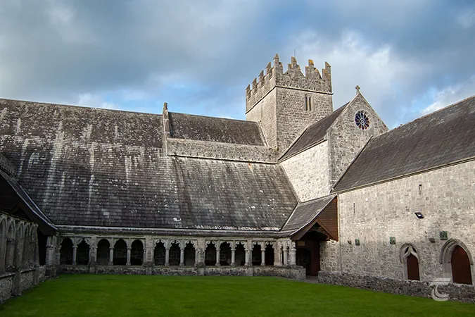 Enclosure in Caherabbey UpperEnclosure · 1362 yd
 Pedunculate OakPedunculate Oak · 1630 yd
 European YewEuropean Yew · 1.2 mi
 Castle (in ruins)Castle, unclassified · 1.8 mi
 Slieveanard NE TopMountain / peak · 3.1 mi
Other information
Photo: National Inventory of Architectural Heritage · Website use allowed for educational or private purposes with source credit