What is recorded here
On an E-facing slope at the E end of an E-W ridge in an area of cut-away bog and rough pasture, with land falling very steeply (H c. 2m) immediately to NNE-E-S and affording broad views over rock outcrop, woodland and conifer plantations NW-E-SW. Named 'Caherreagh' on the first edition (1842) of the OS 6-inch map…
Read the whole record
From the National Monuments Service (Archaeological Survey of Ireland) record CL008-092
Places near here
Photo credits
- National Inventory of Architectural Heritage
- Mark Waters, Wikimedia Commons · CC BY 2.0
- Gordon Hatton, Geograph · CC BY-SA 2.0
- Maker not stated on source page, www.gettyimages.co.nz
- Maker not stated on source page, en.wikipedia.org
- Bob Jones, Geograph · CC BY-SA 2.0
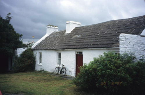 farm house1.3 mi
Explorer Tom Aughiska More Farm house in Aughiska More is sitting pretty with its dormer attic, looking down on us peasants. Saint…
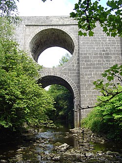 Spectacle BridgeBridge · 1.5 mi
Explorer Tom Spectacle Bridge in Aughiska Beg is just one big arch over a deep gorge, built around 1850. It looks like it’s winking…
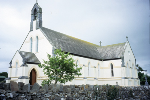 Saint Augustine's Catholic ChurchChurch/chapel · 1.5 mi
Explorer Tom Saint Augustine's Church has lancet windows that look like they’re trying to slice through the sky. Built in 1893, it’s…
 Smithstown Castle (in ruins)Castle, tower house · 1.6 mi
Explorer Tom Smithstown Castle on a rocky outcrop is officially gone, but I swear it’s just napping. It thinks Dublin tourists are…
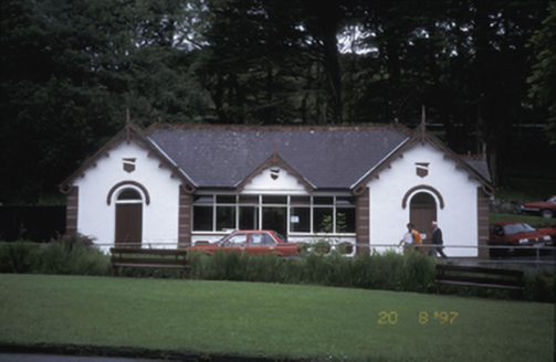 Lisdoonvarna SpaBuilding misc · 1.6 mi
Explorer Tom Lisdoonvarna Spa in Gowlaun is a group of pump houses from the 1890s, which sounds like something out of a Victorian…
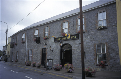 Royal Spa HotelHotel · 1.8 mi
Explorer Tom Royal Spa Hotel has a carriage arch from when horses were the only way to get drunk in Rathbaun. It’s been renovated…
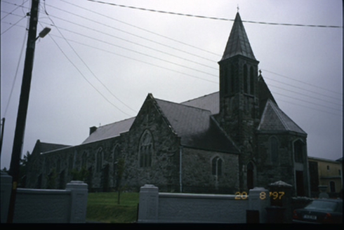 Corpus Christi Catholic ChurchChurch/chapel · 1.9 mi
Explorer Tom Corpus Christi Catholic Church in Rathbaun is trying very hard to look important with its tower and spire. Best seen…
 Wedge tomb in Ballycotteen NorthWedge tomb · 4.0 mi
Explorer Tom Wedge tomb in Ballycotteen North inspired some truly dreadful poetry that nobody wanted to hear twice, yet here it…
 Fairy fort / stone ringfort in BallaghalineFairy fort / stone ringfort · 4.1 mi
Explorer Tom Fairy fort / stone ringfort in Ballaghaline has a double-faced wall with big slabs on the outside. The hero who saved…
 Ballaghaline PointHeadland · 4.5 mi
Explorer Tom Ballaghaline Point is currently in the middle of a fairy dispute over who gets to park their tiny little carriage…
 Doolin PointHeadland · 4.5 mi
Explorer Tom Doolin Point is in a bitter feud with the rain because it keeps getting wet without permission. It’s trying to stay dry…
 Crab IslandIslet · 4.7 mi
Explorer Tom Crab Island in County Clare was run by a matchmaker who paired off lonely sailors with equally lost shepherds with…
More archaeology and monuments in County Clare · All of County Clare

What do you know about this place?Tap to add a comment or ask a question