
What is recorded here
On high ground with excellent views in all direction, overlooked by a hill from NW to N with lower ground to the E and S and within a large field system (CL008-053001-). Hachured and named ‘Cahermoyle’ on the 1842 and 1915 OS 6-inch maps. Referred to by O’ Donovan (1839) as ‘Caher-Mael in the Townland of Cragreagh’…
Read the whole record
From the National Monuments Service (Archaeological Survey of Ireland) record CL004-078
Places near here
Photo credits
- Maker not stated on source page, en.wikipedia.org
- Maker not stated on source page, za.pinterest.com
- Maker not stated on source page, storage.googleapis.com
- Maker not stated on source page, www.irelandhighlights.com
- Maker not stated on source page, en.m.wikipedia.org
- National Inventory of Architectural Heritage
- Roger Diel, Geograph · CC BY-SA 2.0
- Maker not stated on source page, www.pinterest.com
- Kmcnamee, Wikimedia Commons · CC BY-SA 4.0
 Fairy fort / stone ringfort in Cragreagh, CahercloggaunFairy fort / stone ringfort · 188 yd
Explorer Tom Fairy fort / stone ringfort in Cragreagh, Cahercloggaun is subcircular and having a moment. The townland boundary hugs…
 Killeany ChurchRuins · 530 yd
Explorer Tom Killeany Church thinks the road leading to it is too noisy and rude, so it just turns its back on it. The stones are…
 Fairy fort / stone ringfort in Ballyhenna,cahercloggaunFairy fort / stone ringfort · 536 yd
Explorer Tom Fairy fort / stone ringfort in Ballyhenna, Cahercloggaun has a collapsed wall overlain by a later field wall. It would…
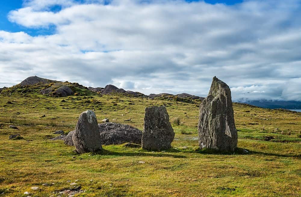 Cursing stone in KilleanyCursing stone · 562 yd
Explorer Tom Cursing stone in Killeany is hiding under some sods like it’s embarrassed about its job. Twenty-eight stones used to be…
Fairy fort / earthen ringfort in CahercloggaunFairy fort / earthen ringfort · 639 ydExplorer Tom Fairy fort / earthen ringfort in Cahercloggaun is so boggy that the Vikings got lost looking for it and ended up…
 Enclosure in Ballyconnoe NorthEnclosure · 696 yd
Explorer Tom Enclosure in Ballyconnoe North was once ruled by a goat who wore a tiny crown made of wire mesh, if you believe the…
Fairy fort / stone ringfort in BallyhennaFairy fort / stone ringfort · 811 ydExplorer Tom Ballyhenna's stone ringfort sits right in the middle of two families who still argue over who owns the sunset view.…
Fairy fort / stone ringfort in Ballyconnoe NorthFairy fort / stone ringfort · 990 ydExplorer Tom Ballyconnoe fairy fort would win a county fair for 'Most Likely to Be Boring'. It's subrectangular, which means it…
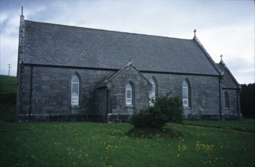 Catholic Church of Our Lady of LourdesChurch/chapel · 1455 yd
Explorer Tom Catholic Church of Our Lady of Lourdes in Kilmoon West is having a bit of a moment with its limestone, isn’t it? If it…
 Site of Lisdoonvarna CastleCastle, tower house · 1.3 mi
Explorer Tom Site of Lisdoonvarna Castle would be a total disaster on a reality show, probably losing its footing in episode one.…
 Murphy's Bridge Stream CaveCave · 2.2 mi
Explorer Tom Murphy's Bridge Stream Cave at Knockaskeheen, County Clare has a hidden message in its stones if you squint hard…
 St. Breckan's, Lisdoonvarna GAA pitchGAA ground · 2.5 mi
More archaeology and monuments in County Clare · All of County Clare

What do you know about this place?Tap to add a comment or ask a question