What is recorded here
On a hillock in an area of scrubland and outcropping rock. According to Redington (1916a, 53), only traces of the walls of this cashel remained. There was a Man-made underground passage (GA096-119001-) in the interior. On the N slope outside the enclosing wall a number of stones 'artificially set on edge and wedged in with spalls' may have formed part of a 'chevaux de frise'. Classified by McCaffrey as a circular 'Stone fort', 'overall diameter 160' [48.7m]', enclosed by a wall '6' [1.8m] wide and 1'10" [0.33m] high, composed of two face of blocks set on edge. He could not see the Man-made underground passage or the 'chevaux de frise' noted by Redington. On inspection this area was so heavily overgrown the site could not be located.
Compiled by: Galway Archaeological Survey, UCG
Date of upload: 8 January 2018
The monument record does not grant public access. Check the route and ask the landowner before entering private land.
- What survives
- Recorded monument
Places near here
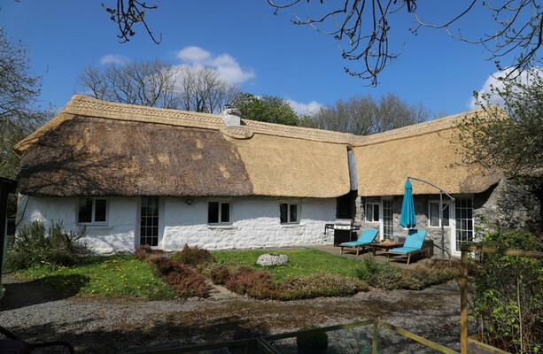 LisduffFairy fort / stone ringfort · 637 yd
 CaherbulliginFairy fort / stone ringfort · 784 yd
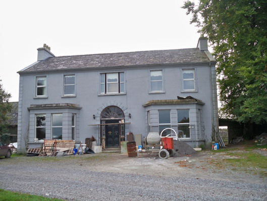 Lavallycountry house · 1.2 mi
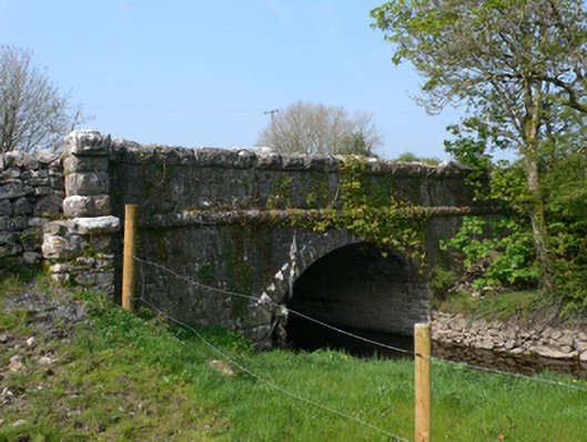 Whistle Bridgebridge · 1.3 mi
 Site of Shanbally CastleCastle, unclassified · 1.4 mi
 Toberbrackan CastleCastle, unclassified · 1.5 mi
 Kilcornan ForestWood · 2.6 mi
 Loughaun WoodWood · 2.9 mi
 Athenry AbbeyHeritage attraction · 4.8 mi
 Athenry CastleHeritage attraction · 4.9 mi
 Leadmine HillMountain / peak · 7.6 mi
 Goose IslandIslet · 8.3 mi