
What is recorded here
Situated on a narrow N-S shelf on the W side of the Caher valley, c. 240m W of the Caher River, in extensively reclaimed pastureland. Hachured and named ‘Caherbullog’ on the 1840 and 1916 eds. of the OS 6-inch map. According to Westropp (1901, 15-16), it and another cashel (CL004-016025-) in the same townland, referred…
Read the whole record
From the National Monuments Service (Archaeological Survey of Ireland) record CL005-002
Places near here
Photo credits
- Maker not stated on source page, en.wikipedia.org
- Maker not stated on source page, www.tripadvisor.ie
- Sometimes Incoherent, Wikimedia Commons
- Maker not stated on source page, www.pinterest.com
- Colin Park, Geograph · CC BY-SA 2.0
- Roger Diel, Geograph · CC BY-SA 2.0
- The original uploader was Rwxrwxrwx at English Wikipedia ., Wikimedia Commons · CC BY-SA 3.0
- Andy Waddington, Wikimedia Commons · CC BY-SA 2.0
- Oliver Dixon, Wikimedia Commons · CC BY-SA 2.0
- National Inventory of Architectural Heritage
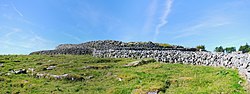 Enclosure in Caherbullog,lisheeneaghEnclosure · 452 yd
Explorer Tom Enclosure in Caherbullog, Lisheeneagh has had more names than a cat has lives, so it’s officially confused about its…
 Wedge tomb in CaherbullogWedge tomb · 461 yd
Explorer Tom Wedge tomb in Caherbullog is hiding in dense hazel scrub, which means you’ll need to be very lucky or very bad at…
 PoulnagollumCave · 1013 yd
Explorer Tom Poulnagollum is over sixteen kilometres of underground Clare, so I will not be offering to lead you round before lunch.…
 Cist in LislarheenmoreCist · 1172 yd
Explorer Tom Cist in Lislarheenmore set itself a New Year's resolution to be found by someone other than the same two guys who've…
 Slieve ElvaMountain / peak · 1.1 mi
Explorer Tom Slieve Elva is playing hard to get in County Clare, sitting there all smug on its peaty bog throne while a ghost…
 FaunarooskaCave · 1.6 mi
Explorer Tom Faunarooska in County Clare inspired a bad poem about its 'rocky soul' that made a local poet cry into his stew. It’s…
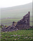 Faunarooska Castle (in ruins)Castle, tower house · 1.7 mi
Explorer Tom Faunarooska Castle watched the Vikings get completely lost looking for it because they were too busy fighting over who…
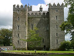 Baunarooska CastleRuins · 1.7 mi
Explorer Tom Baunarooska Castle hears everything through its walls, including your internal monologue about how hungry you are right…
 AilladieCliff · 4.9 mi
Explorer Tom Ailladie is eight hundred metres of Clare limestone that makes climbers grin and makes me check where my feet are. The…
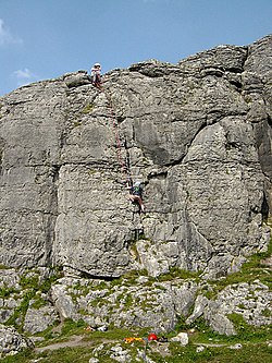 BallyryanCliff · 4.9 mi
Explorer Tom Ballyryan is the Burren crag that seems to have wandered up beside the coast road to show the bigger cliffs how to…
 Noughaval Church (in ruins)Church · 5.3 mi
Explorer Tom Noughaval Church is being picked on by the wind because it stands right on the edge of a slope, which means it gets…
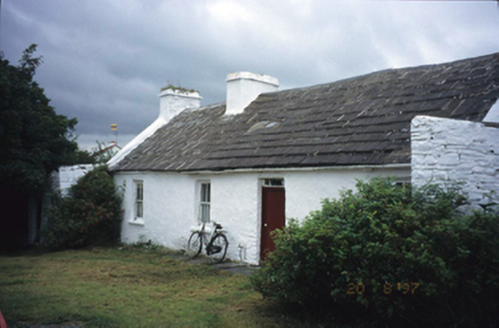 farm house6.0 mi
Explorer Tom Aughiska More Farm house in Aughiska More is sitting pretty with its dormer attic, looking down on us peasants. Saint…
More archaeology and monuments in County Clare · All of County Clare

What do you know about this place?Tap to add a comment or ask a question