DDiscover AloneMapAbout

Caherballykinvarga

Fairy fort / stone ringfort

The monument record does not grant public access. Check the route and ask the landowner before entering private land.

What do you know about this place?Tap to add a comment or ask a question

What you write will be public.

What is recorded here

On a slight rise in undulating pasture, within a large multiperiod field system (CL009-059001-), with marginally higher ground immediately to the NE. Hachured and labelled ‘Caherballykinvarga’ on the 1842 and 1920 eds. of the OS 6-inch map. Labelled ‘Cathair Bhaile Cinn Mhargaidh’ on Robinson’s map (1977). Described…

Read the whole record
On a slight rise in undulating pasture, within a large multiperiod field system (CL009-059001-), with marginally higher ground immediately to the NE. Hachured and labelled ‘Caherballykinvarga’ on the 1842 and 1920 eds. of the OS 6-inch map. Labelled ‘Cathair Bhaile Cinn Mhargaidh’ on Robinson’s map (1977). Described by Westropp (1897, 123) as a well-built cashel standing up to 4.5m high and up to 5.9m wide. The wall was constructed in three sections (see his attached drawing of the wall in section). A lintelled entrance gateway faced SSE. Westropp (1915, 262) further noted a slight external batter on the wall, two internal terraces and numerous enclosures in the interior as well as ‘curious upright joints’ in the wall-face, which he believed marked the work of different gangs. Two of the joints occurred to the W of the entrance and one to the E of it (ibid. 1915, 262). Cunningham (1978, 7) has suggested that the joints probably indicated gaps that gave the workers access to the interior during construction and they were subsequently filled in. The cashel was surrounded by a chevaux-de-frise, a defensive structure made up of closely set sharp upright stones or stakes set at various angles. Westropp (1897, 124) suggested that two bands of stone were identifiable within it, an inner one consisting of densely set pillars with smaller spikes between them and an outer one consisting of less densely set stones. This large subcircular cashel (int. dims. 47.4m E–W; 45m N–S) is still well preserved even though its double-faced wall (av. int. H 1.4-1.5m; max. int. H 3m at E) is not as high as it was when recorded by Westropp (1837, 123) and it does not survive evenly all round. A number of large quarry holes are visible in it at N, NE, E, SE and S, and fallen blocks lie outside and inside its entire circuit. The wall varies in width from 1.6m at E to 2.5m at N and 5m at S and W; the widest sections probably mark where the terraces were located. Just S of the narrowest stretch of the wall a stone bench protrudes (2.5m) from the inner wall-face. The gateway lintel (L 2.4m; Wth 0.9m; H 0.4m) is still visible and the entrance passageway (Wth 1.6m) beneath it runs straight through the wall. Within the interior numerous old field walls are defined by grassed-over stone spreads. Some corrals abutting the inner wall-face between W and N may correspond to the ‘enclosures’ noted by Westropp (1915, 262). A thorn tree is growing just inside the wall at NE and some recent hand-written labels with what appears to be tracts of scripture have been attached to it. The chevaux-de-frise (Wth 18.5–31.5m) is still extant all around the cashel and is widest to the W and narrowest to the S. It is made up of large limestone pieces (H c. 0.5–1m) set upright in the ground at various angles. The two bands of stone noted by Westopp (1897, 124) were not distinguishable; the blocks seemed to be similarly placed throughout. A passage (Wth 2.7) through it at SSE leads to the entrance gateway. Another funnel-shaped passage through it was noted at N but it was unclear whether it was an original feature or the result of damage. Indentations in the outer part of the chevaux-de-frise at ESE and S do not appear to be recent. A number of features of this cashel, including its robust wall, evidence of wall terraces and the presence of wall joints, together with the chevaux-de-frise merit its association with the ‘Western Stone Forts’ class of distinctive cashels (Cotter 2012, vol. 1, 24). Another cashel (CL009-059015-) lies c. 66m to the NE The following image has been uploaded: CL009-059012-_01 aerial view from NW.jpg Compiled by: Olive Alcock and Conn Herriott Date of upload: 21 March 2022

From the National Monuments Service (Archaeological Survey of Ireland) record CL009-059012

Places near here

Photo credits
  • Maker not stated on source page, ru.pinterest.com
  • Maker not stated on source page, en.wikipedia.org
  • Maker not stated on source page, www.pinterest.com
  • Maker not stated on source page, storage.googleapis.com
  • Roger Diel, Wikimedia Commons · CC BY-SA 2.0
  • National Inventory of Architectural Heritage
  • Maker not stated on source page, monumentalireland.ie
  • N Chadwick, Geograph · CC BY-SA 2.0
  • Colin Park, Geograph · CC BY-SA 2.0
  • Maker not stated on source page, www.dreamstime.com
  • Neil Theasby, commons.wikimedia.org
Standing stone in BallykinvargaStanding stone · 56 yd

Explorer Tom Standing stone in Ballykinvarga was saved by a hero nobody remembers who probably just kicked a rock out of the way…
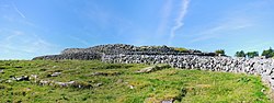
Fairy fort / stone ringfort in BallykinvargaFairy fort / stone ringfort · 123 yd

Explorer Tom Fairy fort / stone ringfort in Ballykinvarga whispers that there’s a secret tunnel leading straight to the pub…

Site of Kilcameen ChurchChurch · 289 yd

Explorer Tom Site of Kilcameen Church has vanished so completely that even the wind can’t find anything to pick on anymore. It’s…

Fairy fort / stone ringfort in BallyhomultaFairy fort / stone ringfort · 548 yd

Explorer Tom Fairy fort / stone ringfort in Ballyhomulta has a made-up local legend about a giant who tried to eat the whole thing…

Caherminnaun Castle (in ruins)Castle, unclassified · 675 yd

Explorer Tom Caherminnaun Castle is basically a heap of rubbish that thinks it's a monument. O’Curry said it was 'a heap of ruins'…
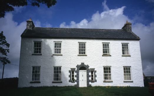
Hollywell HouseFarm house · 900 yd

Explorer Tom Hollywell House in Maryville, County Clare, had its top floor chopped off around 1910 because it got too tall for its…
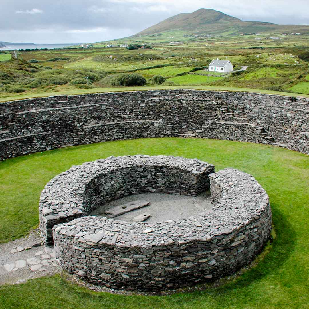
Fairy fort / stone ringfort in Ballyganner SouthFairy fort / stone ringfort · 1188 yd

Explorer Tom Fairy fort / stone ringfort in Ballyganner South was where a poet fell in the ditch nearby. The walls are low, so you…

High CrossHeritage attraction · 1.1 mi

Explorer Tom This High Cross had a moment where a fox took charge of the whole site, sitting on top of it looking like a tiny…

Burren Centre KilfenoraVisitor information · 1.1 mi

Explorer Tom The Burren Centre in Kilfenora is a sensible first stop before trying to make sense of north Clare's limestone hills. I…

Church in KilfenoraChurch · 1.1 mi

Explorer Tom Kilfenora Church is hoarding all the effigial tombstones like they're limited-edition vinyl records from a 13th-century…

Graveyard in KilcarraghGraveyard · 1.4 mi

Explorer Tom Graveyard in Kilcarragh only has one stone, so if you drop your phone there, that’s officially it for the whole place.…

Kilfenora GAA pitchGAA ground · 1.8 mi

More archaeology and monuments in County Clare · All of County Clare

Add to this placeAdd a picture Add a detailed tip Add a story

Explore the map1,095,414 places to discover

Next place · or swipeStanding stone in Ballykinvarga