What is recorded here
On a SE-facing slope in grassland. Very poorly preserved circular cashel (D 38m) defined by a drystone wall reduced to a rubble spread and overlain by a field wall at NE. The wall is best preserved at SW where inner and outer wall-facing survive. According to local tradition, there is a 'cave' (possible Man-made underground passage) within the interior; no visible surface trace survives. A ringfort (GA056-091----) lies c. 80m to NNW.
The above description is derived from the published 'Archaeological Inventory of County Galway Vol. II - North Galway'. Compiled by Olive Alcock, Kathy de hÓra and Paul Gosling (Dublin: Stationery Office, 1999).
Date of upload: 05 August 2010
The monument record does not grant public access. Check the route and ask the landowner before entering private land.
- What survives
- Recorded monument
Places near here
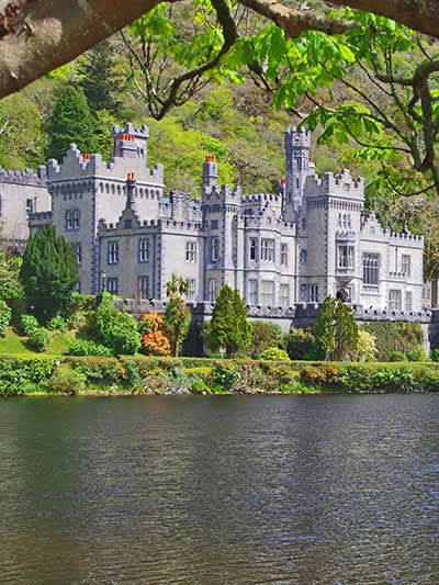 CaherananeArchaeological place · 7 yd
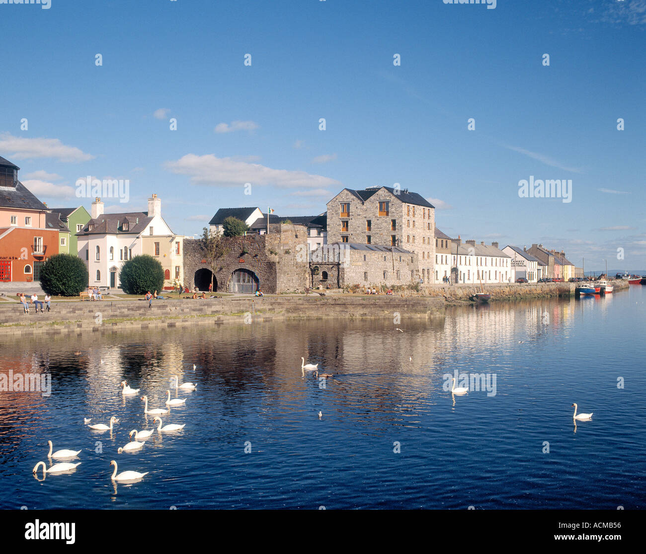 CaheranoreArchaeological place · 1083 yd
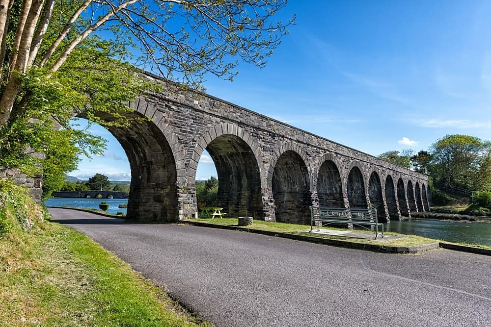 IndicatedHouse, 18th/19th century · 1538 yd
 Castle in ruinsCastle, tower house · 1678 yd
 Ballinduff BayBay · 1.3 mi
 Kilcoona Round TowerHeritage attraction · 1.5 mi
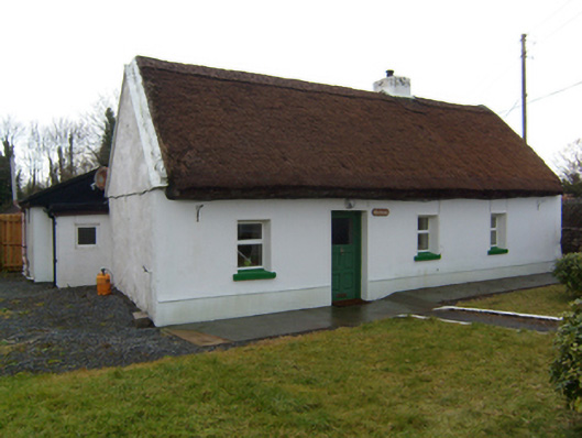 The Cottagehouse · 1.6 mi
 Cloghanower Castle in ruinsCastle, tower house · 1.8 mi
 Walsh's IslandIslet · 2.2 mi
 Cúil DiarmuidWood · 2.7 mi
 Oileán an AoilIsland · 3.0 mi
 BallynacreggaWood · 4.0 mi