
What is recorded here
From OpenStreetMap (© OpenStreetMap contributors) n11940586777
Places near here
Photo credits
- Maker not stated on source page, en.wikipedia.org
- Maker not stated on source page, in.pinterest.com
- Maker not stated on source page, en.m.wikipedia.org
- Maker not stated on source page, www.flickr.com
- Kmcnamee, Wikimedia Commons · CC BY-SA 4.0
- Maker not stated on source page, www.pinterest.ru
- Maker not stated on source page, www.pinterest.de
- National Inventory of Architectural Heritage
- Maker not stated on source page, www.msn.com
- Willow, Wikimedia Commons · CC BY 2.5
 Fairy fort / earthen ringfort in Caher (tulla Lower By.)Fairy fort / earthen ringfort · 550 yd
Explorer Tom Fairy fort / earthen ringfort in Caher is famous for a shortcut that isn't actually a shortcut at all, but a long…
 Bullaun stone in BallyhurlyBullaun stone · 848 yd
Explorer Tom This bullaun stone in Ballyhurly is secretly proud of a potato that grew right next to it back in the day, claiming it…
 Enclosure in BallyhurlyEnclosure · 1124 yd
Explorer Tom Enclosure in Ballyhurly handles nosey neighbours by just standing there, looking vaguely disappointed at their lack of…
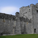 Caher Castle (in Ruins)Castle, tower house · 1436 yd
Explorer Tom Caher Castle is probably judging your outfit right now from its tower-house perch. It’s got that look of 'I have seen…
 Ogonnelloe GAA pitchGAA ground · 1501 yd
 Fairy fort / earthen ringfort in Bealkelly (purdon)Fairy fort / earthen ringfort · 1728 yd
Explorer Tom Bealkelly fairy fort is guarded by a superstition locals swear by: if you touch it, you’ll trip for a week. Best…
 Round IslandIslet · 1.1 mi
Explorer Tom Round Island is hoarding treasure that turns out to be nothing but an empty biscuit tin from the fifties. It’s sitting…
 Piper's IslandIslet · 1.2 mi
Explorer Tom Piper's Island has strict rules: no whistling before lunch and absolutely no humming after dark, or the piper will show…
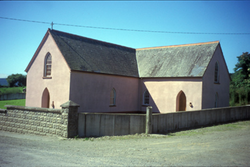 Saint Mary's Catholic ChurchChurch/chapel · 1.2 mi
Explorer Tom Saint Mary's Catholic Church in Ballylaghnan has rusticated concrete block boundary walls that look like they’re trying…
 Castle Baun (in Ruins)Castle, tower house · 1.2 mi
Explorer Tom Castle Baun holds a fake world record for 'Most Bored Tower House in County Clare.' It’s probably just waiting for the…
 European ash1.3 mi
Explorer Tom European ash in County Clare had a New Year’s resolution to grow one more leaf per year, but it’s been stuck at zero…
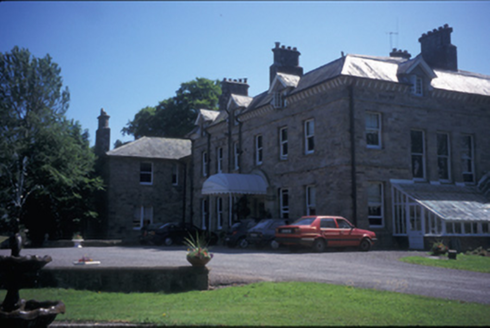 Tinarana HouseCountry house · 1.4 mi
Explorer Tom Tinarana House in Islandcosgry is an 1860 country house built by the Purdons, who probably thought they were gods.…
More mountains and hills in County Clare · All of County Clare

What do you know about this place?Tap to add a comment or ask a question