
What is recorded here
In level grassland. A poorly preserved subcircular cashel (N-S 37m, E-W 34m) defined by a collapsed drystone wall overlain by field clearance. A small stone structure (NW-SE; L 8m, Wth 2.7m) is a built into the external wall-face at NE. In W part of the interior is a slight L-shaped hollow (L 8.2m, Wth 2.5m), running NE-SW, with a poorly defined NW extension (L 5.6m, Wth 2m) at its SW end. This may be the result of digging or the remains of a possible Man-made underground passage. A series of earthworks (GA042-031002-) are associated.
The above description is derived from the published 'Archaeological Inventory of County Galway Vol. II - North Galway'. Compiled by Olive Alcock, Kathy de hÓra and Paul Gosling (Dublin: Stationery Office, 1999).
Date of upload: 05 August 2010
A local fairy fort (ringfort/rath); wider significance not recorded.
The monument record does not grant public access. Check the route and ask the landowner before entering private land.
- What survives
- Recorded monument
Places near here
 Connells FortArchaeological place · 471 yd
 Grave YardGraveyard · 1248 yd
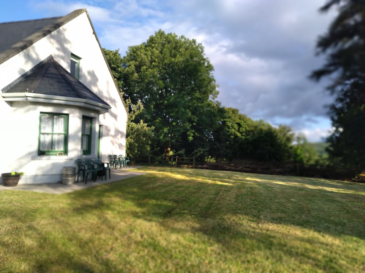 Country house in Barnaboy (headford By.)Country house · 1290 yd
 Donaghpatrick Church in ruinsChurch · 1296 yd
 Kilcoona Round TowerHeritage attraction · 2.2 mi
 Castle Hacket (in ruins)Castle, hall-house · 2.4 mi
 KnockmaaWood · 2.4 mi
 Bawn in ArdrumkillaBawn · 2.7 mi
 Ross Errilly FriaryHeritage attraction · 4.5 mi
 Pesooge PlantationForest · 4.6 mi
 Ballinduff BayBay · 4.6 mi
 Mass RockNamed rock · 5.1 mi
Other information
Photo: Credit not shown in the picture search · Rights wording not checked; contact us if this picture should be removed