What is recorded here
No visible trace remains of the ringfort in Kildrum, though maps still draw a forty-metre circle on the north-facing slope. The ground has swallowed the ditch and bank, erasing the fort from sight but not from memory. Whatever life happened inside that circle has returned to grass and rain, leaving only a name and a ghost line on paper.
On N-facing slope of a low hill in grassland. Marked on OS Fair Plan as 'Andrews Fort' and represented subsequently on OS 6-inch maps as a circular enclosure (D c. 40m). No visible surface trace survives.
The above description is derived from the published 'Archaeological Inventory of County Galway Vol. II - North Galway'. Compiled by Olive Alcock, Kathy de hÓra and Paul Gosling (Dublin: Stationery Office, 1999).
Date of upload: 05 August 2010
The monument record does not grant public access. Check the route and ask the landowner before entering private land.
- What survives
- Recorded monument
Places near here
 Andrew's FortArchaeological place · 16 yd
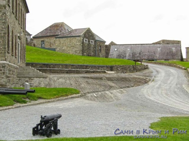 Cicily's FortArchaeological place · 384 yd
 R.C. ChapelChapel · 1523 yd
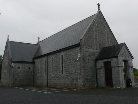 Catholic Church of Mary Immaculate and Saint Josephchurch/chapel · 1622 yd
 Castle Hacket (in ruins)Castle, hall-house · 1.6 mi
 Bawn in ArdrumkillaBawn · 1.7 mi
 KnockmaaWood · 1.9 mi
 Kilcoona Round TowerHeritage attraction · 3.1 mi
 Mass RockNamed rock · 4.1 mi
 Pesooge PlantationForest · 4.2 mi
 Walsh's IslandIslet · 6.3 mi
 Oileán an AoilIsland · 7.5 mi