What is recorded here
Depicted on the 1837 ed. OS 6-inch map and annotated as ‘Templeoran Church’ (WM011-098----) where it is depicted standing in the centre of a circular shaped graveyard or ‘Burying Ground’. A circular shaped graveyard (approx. diam. 47m N-S; 45m E-W) enclosed by a stone wall of post 1700 date. In the centre there are the ruins of Templeoran Church (WM011-099---) and tombstones dating from the 18th-20th centuries. The circular shaped graveyard boundary may follow the line of an Early Christian ecclesiastical enclosure (WM011-099002-).
Compiled by: Frank Coyne and Caimin O'Brien
Date of upload: 25 August 2017
The monument record does not grant public access. Check the route and ask the landowner before entering private land.
- What survives
- Recorded monument
Places near here
 Templeoran ChurchChurch · 18 yd
 Partially hachuredFairy fort / earthen ringfort · 616 yd
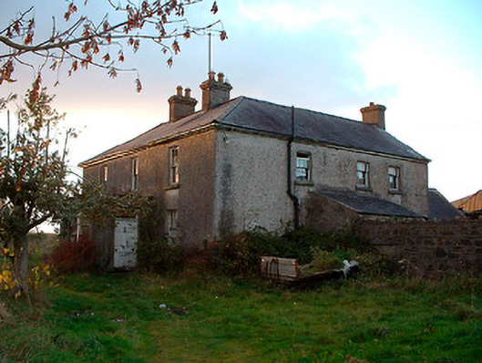 Johnstown Househouse · 1367 yd
 IndicatedBawn · 1437 yd
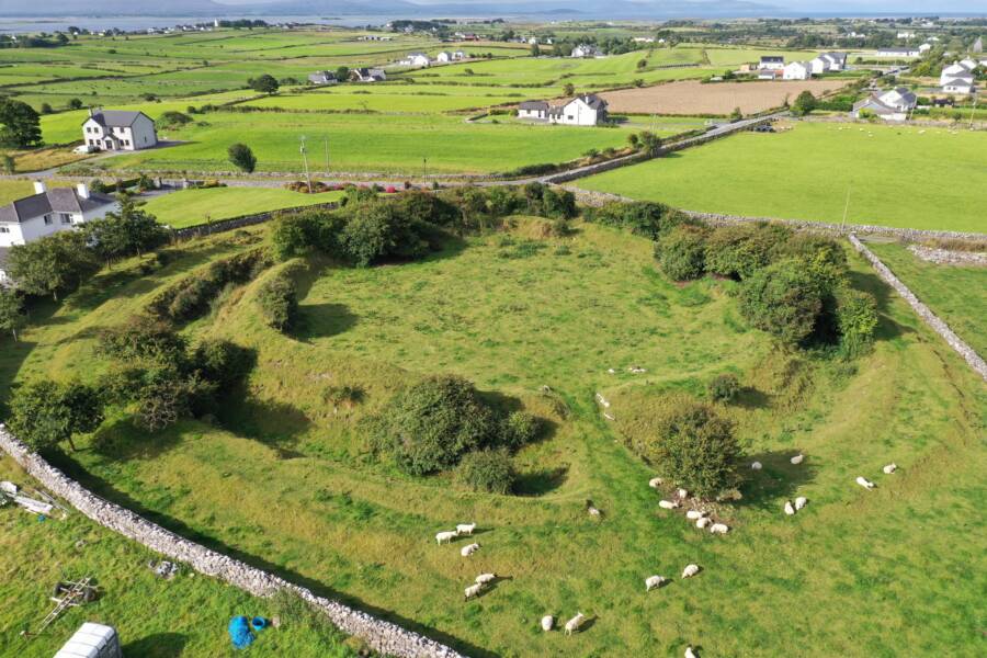 Fairy fort / ringfort in Grange (moygoish By.)Fairy fort / ringfort · 1735 yd
 Castle Quarter, Castle (in ruins)Castle, unclassified · 1.6 mi
 Baronstown ForestWood · 2.5 mi
 Carrickphilbin IslandIslet · 2.5 mi
 Horse-chestnutHorse-chestnut · 2.7 mi
 Srudarra IslandIslet · 3.3 mi
 Bridge Memorial (Kenna)Memorial · 4.3 mi
 Goldsmith Birthplace, PallasVisitor information · 10 mi