What is recorded here
The ruins of Hopestown Church (WM018-139----) stands in centre of rectangular shaped graveyard (approx. dims. 62m NE-SW x 37m NW-SE) enclosed by an earth and stone bank from SSW-W-N-E and by a stone wall with entrance gate and stone stile at SE. The graveyard is enclosed by a low earthen bank (ext. H 2m) and stone wall with external ditch of rectangular plan, that appears to be post-1700 in date (ASI Field Report 28/04/1976). The graves lie S, SW, E-NE of the church and are of mid 19th-20th century date. There is one grave belonging to the Glennon family in the W end of the church interior. The N and W quadrants of the graveyard are covered with trees with no evidence of burials or gravemarkers although it is impossible to inspect due to the dense cover of trees.
Compiled by: Caimin O'Brien
Date of upload: 22 February 2019
The monument record does not grant public access. Check the route and ask the landowner before entering private land.
- What survives
- Recorded monument
Places near here
 Hopestown Church (in Ruins)Church · 16 yd
 Partially hachuredFairy fort / earthen ringfort · 269 yd
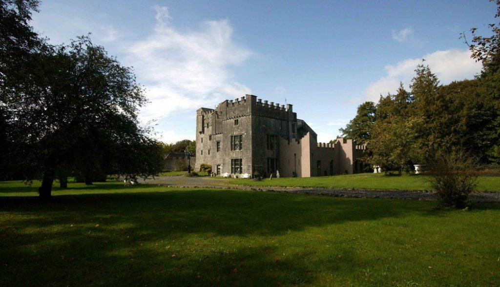 Castle (in Ruins)Castle, tower house · 352 yd
 OutlinedBawn · 395 yd
 gates/railings/wallsgates/railings/walls · 1160 yd
 Ecclesiastical enclosure in Kilpatrick (moyashel & Magheradernon By.)Ecclesiastical enclosure · 1748 yd
 WestmeathVisitor information · 2.7 mi
 Srudarra IslandIslet · 3.1 mi
 Carrickphilbin IslandIslet · 3.3 mi
 Ancient Ring FortWood · 3.7 mi
 ShawbrookForest · 11 mi
 Moat HillMountain / peak · 12 mi