What is recorded here
Burying Ground stands on an east-facing slope above Lough Gulladoo, its rectangular earthwork marked by trees and a stone wall beside the road. Headstones dating from 1758 onward rise among the banks, while local tradition weaves strange stories through the quiet graves. The place holds both recorded death and imagined danger, inviting wonder rather than certainty.
Located on an E-facing slope overlooking Lough Gulladoo, also known as Errew Lough. The large enclosure (LE034-006001-) has a rectangular enclosure at its E edge that was described as a ‘Burying Ground’ on the 1835 edition of the OS 6-inch map and as a ‘Grave Yard’ on the 1907 edition. The enclosure (dims c. 30m N-S; c. 20m E-W at S; c. 35m E-W at N) is defined by earthen banks with trees on each side, except the E where a masonry wall borders a N-S road. The few headstones date mainly from the 18th and 19th centuries, the earliest legible date being 1758, and there is a lot of folklore concerning the graveyard (IFC: Schools’ Collection, vol. 0228, 69, 169-70).
The above description is derived from 'The Archaeological Inventory of County Leitrim' compiled by Michael J. Moore (Dublin: Stationery Office, 2003). In certain instances the entries have been revised and updated in the light of recent research.
Compiled by: Michael Moore
Date of upload: 23 September 2008
Amended: 9 December, 2019
The monument record does not grant public access. Check the route and ask the landowner before entering private land.
- What survives
- Recorded monument
Places near here
 IndicatedEnclosure, large enclosure · 31 yd
 CornaferstMountain / peak · 860 yd
 DrumbreanlisMountain / peak · 1426 yd
 St. Patricks WellHoly well · 1524 yd
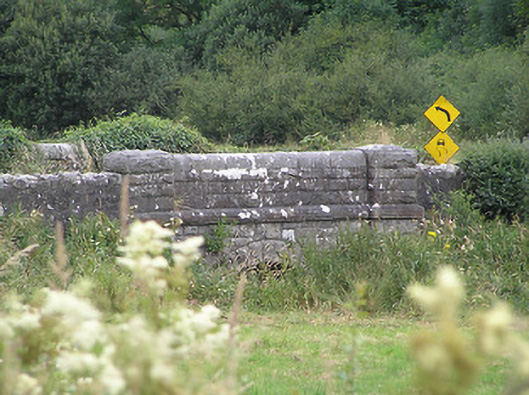 Drumury Bridgebridge · 1.3 mi
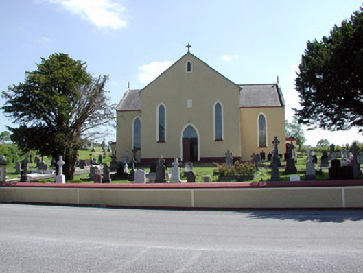 Saint Mary's Catholic Churchchurch/chapel · 1.4 mi
 European YewEuropean Yew · 1.5 mi
 Ticosker WoodWood · 1.9 mi
 King's GraveArchaeological place · 2.5 mi
 North Midland Transport CollectionMuseum · 4.2 mi
 Bawn in CastlepolesBawn · 4.3 mi
 CastleBawn · 4.6 mi