
What is recorded here
Burt Castle (DG046-015-): The earliest known reference to this castle is in a grant of lands to Sir John O'Doherty in 1587. The 1601 view (Davies and Swan 1939, 190) depicts it at its fullest extent and the accompanying description records 'the strong castle of Burt O'Doghertes chief holde, nowe in possession of one…
Read the whole record
From the National Monuments Service (Archaeological Survey of Ireland) record DG046-015002
Places near here
Photo credits
- Kenneth Allen, Wikimedia Commons · CC BY-SA 2.0
- M'Loughlin, Peter, Wikimedia Commons
- Maker not stated on source page, en.wikipedia.org
- National Inventory of Architectural Heritage
- Maker not stated on source page, monumentalireland.ie
- Maker not stated on source page, tr.pinterest.com
- Joe Boland / North West News Pix, via Donegal Daily, www.donegaldaily.com
- Kenneth Allen, Geograph · CC BY-SA 2.0
- C.L.G. Naomh Muire; individual photographer not named, www.naomhmuire.ie
 Burt CastleCastle, tower house · 1 yd
Explorer Tom Burt Castle's roofless keep still stands on the hill, with two round corner towers and rows of gun-loops. The old…
 O'Doherty's CastleRuins · 4 yd
Explorer Tom O'Doherty's Castle near Burt is the one that can make a confident guide point towards Buncrana and get the wrong ruin…
 Burt Church GraveyardGraveyard · 950 yd
Explorer Tom Burt Church Graveyard has a church whose eastern nine metres became the Fergusson family's burial plot, probably in the…
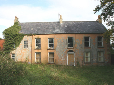 CarrowenFarm house · 1501 yd
Explorer Tom Carrowen has wrought-iron double gates standing on rendered pillars that end in sharp pyramids. That looks less like a…
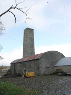 Bohullion DistilleryDistillery · 1.0 mi
Explorer Tom Bohullion Distillery was built around 1750 with a huge square chimney tower. I might lose track of the old stone rooms…
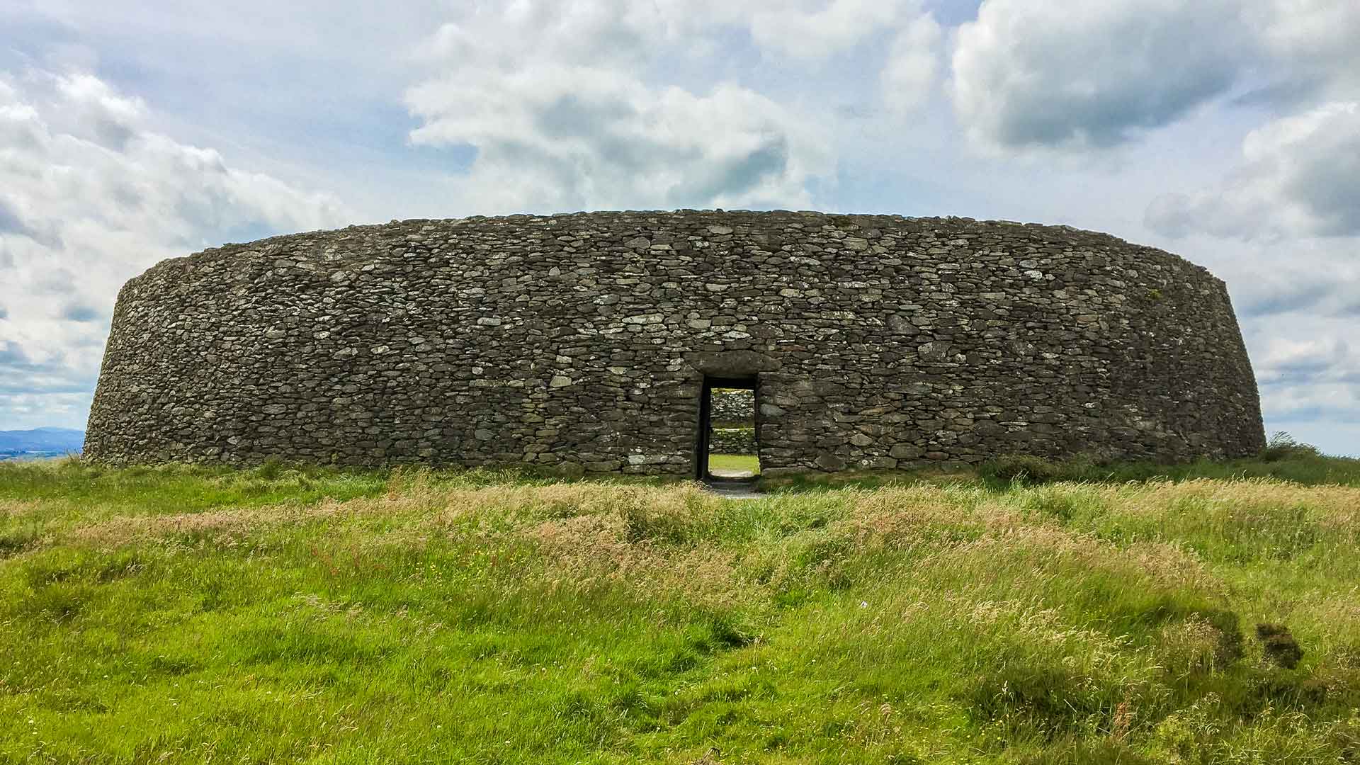 Fairy fort / ringfort in CastlecoolyFairy fort / ringfort · 1.0 mi
Explorer Tom Fairy fort / ringfort in Castlecooly has been ploughed right out of the low hillock. There’s nothing left to see but…
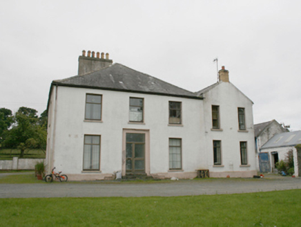 rectory/glebe/vicarage/curate's house1.0 mi
Explorer Tom Rectory in Colehill is a handsome little house that has an imaginary twin across the sea which sends postcards every…
 Standing stone in BallymoneyStanding stone · 1.2 mi
Explorer Tom Standing stone in Ballymoney has no visible remains, though old maps mark its site on arable land near Lough Swilly. It…
 When Balor Came West: The Second Battle of Mag TuiredMythic battle remembrance · 1.4 mi
Explorer Tom When Balor Came West: The Second Battle of Mag Tuired sits on flat ground below Aileach, relying entirely on Eochu…
 Páirc Cholm Cille, Naomh Colmcille GAA, NewtowncunninghamGAA ground · 1.5 mi
 Coyles barPub · 1.8 mi
Explorer Tom Coyles bar in County Donegal is probably hiding a secret stash of old pints behind the tap. I bet they serve a stout…
 Hibernian Park, Burt GAAGAA ground · 1.9 mi
More archaeology and monuments in County Donegal · All of County Donegal

What do you know about this place?Tap to add a comment or ask a question