
What is recorded here
The Civil survey (1654-6) mentions a small warren at Baldoyle (Simington 1654-6, 174). There is a field called 'Burrrow Field' on the 1979 edition of the OS 6-inch map, near the coast at the south-eastern corner of the townland which may be the site.
Compiled by: Geraldine Stout
Date of upload: 26 August 2011
The monument record does not grant public access. Check the route and ask the landowner before entering private land.
- What survives
- Recorded monument
Places near here
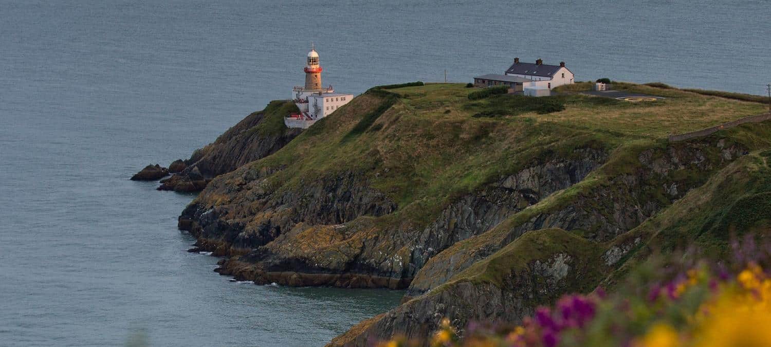 Mound, Knock of HowthBurial mound · 151 yd
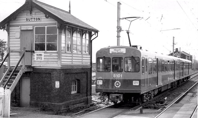 Sutton Railway Stationsignal box · 430 yd
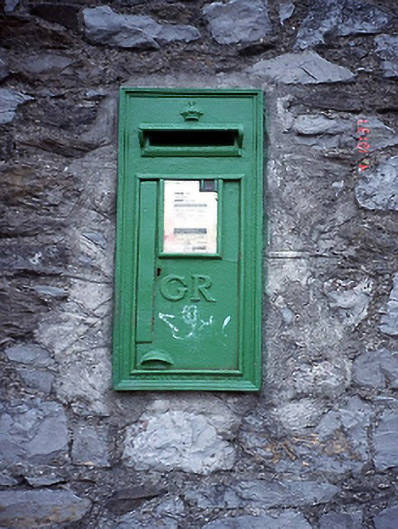 post boxpost box · 465 yd
 Cemetry of stone-lined Graves (site of)Burial ground · 615 yd
 Graveyard in Kilbarrack LowerGraveyard · 1016 yd
 Burrow BeachBeach / strand · 1532 yd
 Baldoyle Estuary Nature ReserveNature reserve · 1587 yd
 Map of Baldoyle Industrial EstateVisitor information · 1.0 mi
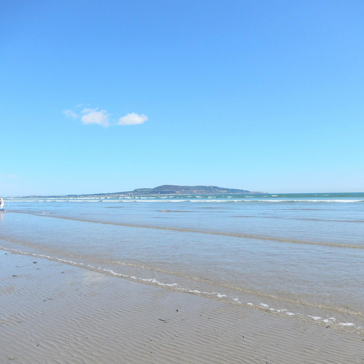 Bull Island Wildlife Only AreaNature reserve · 1.2 mi
 Corr CastleCastle, tower house · 1.2 mi
 Portmarnock BeachBeach / strand · 1.6 mi
 National Transport MuseumMuseum · 1.8 mi
Other information
Photo: Credit not shown in the picture search · Rights wording not checked; contact us if this picture should be removed