What is recorded here
In pasture, located on SE-facing slope bordering the W side of the Mullaghanoe River .
A roughly circular surface spread (diam. c. 8m) of heat-shattered stone in a matrix of charcoal-rich soil was visible in August 1998 c. 8m from the river bank in August 1998. It was exposed during clearance of scrub from the river bank.
There is another burnt spread (MA063-064) c. 35m to N and rath (MA063-005----) is located immediately to NW.
Compiled by: Jane O’Shaughnessy
Date of upload: 9 December 2020
The monument record does not grant public access. Check the route and ask the landowner before entering private land.
- What survives
- Recorded monument
Places near here
 Saint James's Catholic Churchchurch/chapel · 679 yd
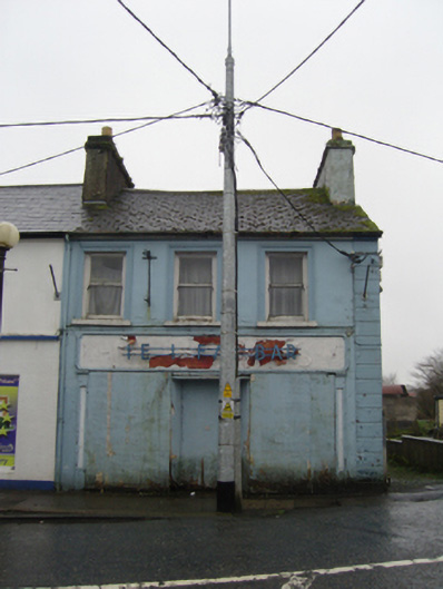 The Ideal Barhouse · 812 yd
 IndicatedFairy fort / earthen ringfort · 1.1 mi
 TobernacullyHoly well · 1.2 mi
 Old Cave Burial GroundArchaeological place · 5.0 mi
 East Mayo Brigade MonumentMemorial · 7.0 mi
 Castle (in Ruins)Castle, tower house · 7.6 mi
 Bockagh HillMountain / peak · 8.0 mi
 Rath Castle in ruinsCastle, tower house · 8.1 mi
 Thorn CaveCave · 8.4 mi
 Lough Talt TrailVisitor information · 10 mi
 Kiltimagh MuseumMuseum · 11 mi