What is recorded here
Located in a boggy, pasture field which is crossed by several drains. To the north the ground rises to a ridge with frequent rock out-cropping. The N56 borders the S side of the field.
This burnt spread was discovered in 2021 during archaeological testing of a proposed topsoil storage area for a road scheme on the N56 Leitirmacaward to Glenties (Kilraine) approved road (Ministerial Direction No.: A065, extension to Registration No.: E005316) (Quinn 2021).
The burnt spread underlay a layer of peat (D 0.9m). It consists of a sub-circular layer (diam. c. 4m; max. D 0.15m) of charcoal enriched clay, with mottling and staining extending over a larger area (diam. c. 5.5m). It may represent the result of early land clearance. The layer was not excavated, but was covered in geotextile and backfilled, and will be excluded from the proposed development at this location. (Quinn 2021)
Attached image is courtesy of B. Quinn, Moore Group:
DG065-019----_01.JPG Burnt spread exposed in test trench, viewed from S
Compiled by: Jane O'Shaughnessy
Date of upload: 7 May 2021
The monument record does not grant public access. Check the route and ask the landowner before entering private land.
- What survives
- Recorded monument
Places near here
 Letterilly Stone RingfortFairy fort / stone ringfort · 495 yd
 Letterilly Standing StonePublicly named standing stone · 684 yd
 Wych ElmWych Elm · 1.1 mi
 Old Church in RuinsChurch · 1.2 mi
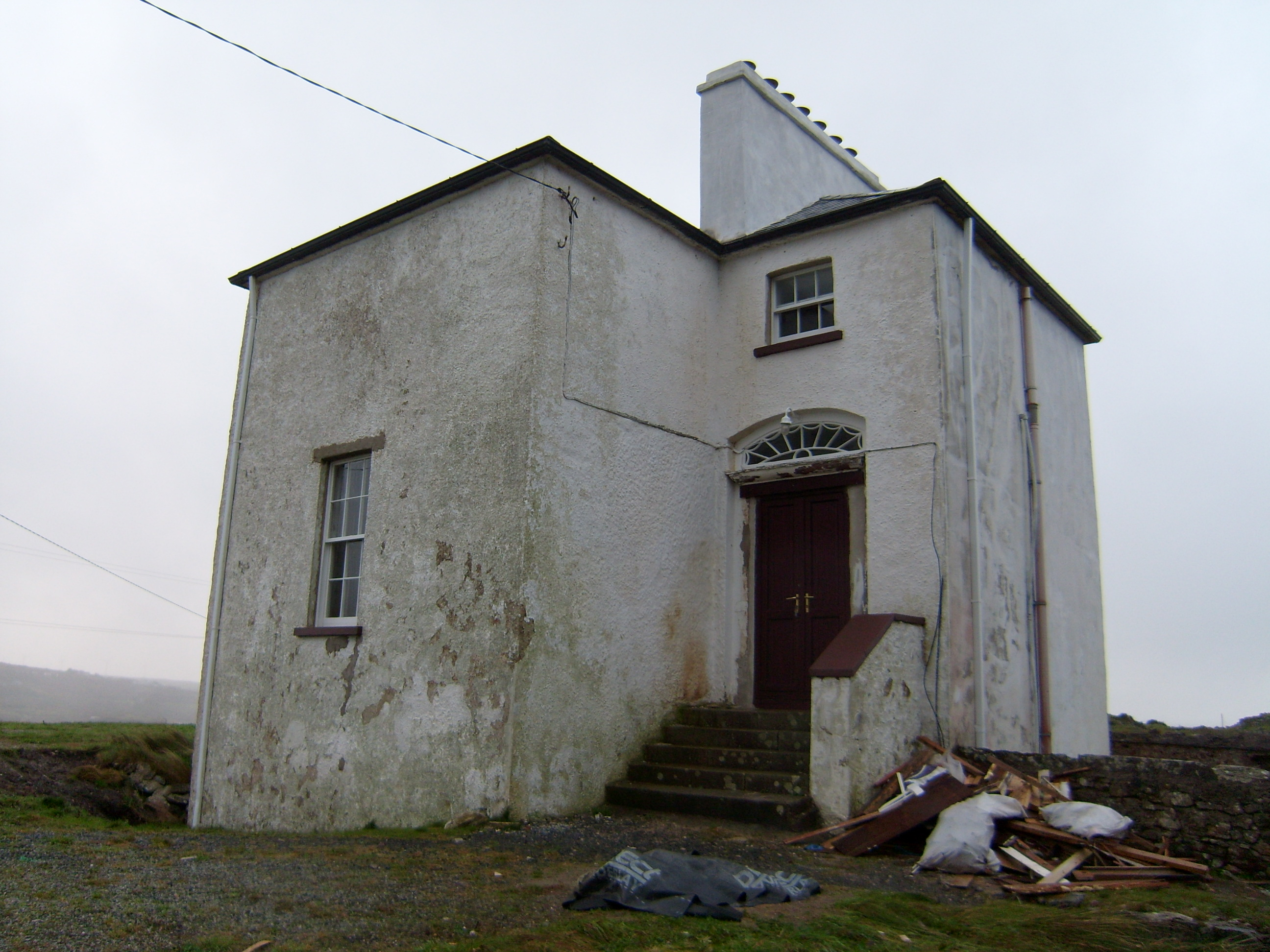 The Old Rectoryrectory/glebe/vicarage/curate's house · 1.9 mi
 Bonny Glen Wood - Bonny Glen walkOfficial walking route · 2.3 mi
 Bonny Glen WoodForest recreation place · 2.4 mi
 St. Connell's Museum and Heritage CentreMuseum · 3.1 mi
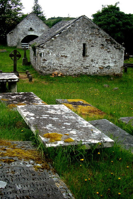 Inishkeel Graveyard near GlentiesGraveyard · 4.0 mi
 DooeyOfficial bathing water · 4.1 mi
 Narin–Portnoo StrandOfficial bathing water · 4.3 mi
 Doon FortFairy fort / stone ringfort · 4.7 mi