
What is recorded here
A burnt spread was recorded in the W quadrant of Area 1A was excavated in 2020 under licence 17E0292 by Muireann Ní Cheallacháin for IAC Archaeology during construction phase of residential development by Cairn Homes PLC. Excavation was carried out in Area 1A following the identification of crop marks within the…
Read the whole record
From the National Monuments Service (Archaeological Survey of Ireland) record WI013-131
Places near here
Photo credits
- Maker not stated on source page, commons.wikimedia.org
- National Inventory of Architectural Heritage
- Jean-Pol GRANDMONT, Wikimedia Commons · CC BY 3.0
- Golfing in Ireland; photographer not stated, Source publisher
- Maker not stated on source page, www.dailymail.co.uk
- Maker not stated on source page, uk.pinterest.com
- Maker not stated on source page, www.rte.ie
- Maker not stated on source page, en.wikipedia.org
 Flat cemetery in FarrankellyFlat cemetery · 109 yd
Explorer Tom Flat cemetery in Farrankelly is currently being dug up by construction crews who seem to think nine cremation pits are…
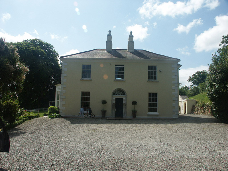 GlenbrookHouse · 133 yd
Explorer Tom Glenbrook is pretending to be a proper Georgian gentleman, but I reckon a poet fell into a ditch nearby while trying to…
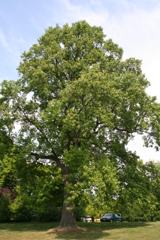 Tuliptree143 yd
Explorer Tom Tuliptree in County Wicklow has flowers shaped like tulips that look like they’re wearing little yellow dresses to a…
 Delgany Golf ClubGolf course · 461 yd
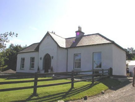 The PrioryHouse · 577 yd
Explorer Tom The Priory in Priestsnewtown is a small late Georgian dwelling that’s well preserved despite some uPVC window…
 Beaumont CottageHouse · 922 yd
Explorer Tom Beaumont Cottage in Delgany is currently involved in a serious dispute with a fairy council over who has the right to…
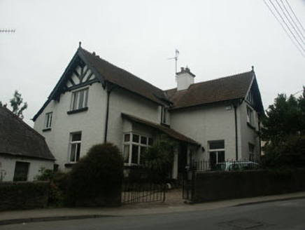 CourtloughHouse · 929 yd
Explorer Tom Courtlough in Delgany is modest but has big dreams of being the star of the village. If it could order chippy, it’d go…
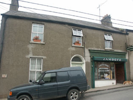 Hill View HouseHouse · 936 yd
Explorer Tom Hill View House in Delgany is officially run by a dog who barks at every delivery driver. It’s got modern windows on an…
 Kilquade CemeteryCemetery · 1326 yd
Explorer Tom Kilquade Cemetery would handle a nosey neighbour by simply growing ivy over their window until they couldn't see…
 Enclosure in CharleslandEnclosure · 1381 yd
Explorer Tom Enclosure in Charlesland thinks the local sheep are its personal bodyguards. It sits right next to its sibling…
 Eire Og Greystones GAA pitchGAA ground · 1470 yd
 Fairy fort / ringfort in BromleyFairy fort / ringfort · 1.2 mi
Explorer Tom Fairy fort / ringfort in Bromley is sitting there looking smug because it knows you can’t find it anymore. A cow once…
More archaeology and monuments in County Wicklow · All of County Wicklow

What do you know about this place?Tap to add a comment or ask a question