What is recorded here
Situated on a gentle E-facing slope. This was first identified as a burnt spread by C. Moloney (2006) in testing (06E0163) on the line of a water pipe, and subsequently excavated (06E0398) by J. Wren. It proved to be a small sample of charcoal (dims. 0.86m x 0.58m; T 0.1m) in the subsoil. (Wren 2009a, 526, no. 1973)
Compiled by: Michael Moore.
Date of upload/revision: 12th May, 2011.
The monument record does not grant public access. Check the route and ask the landowner before entering private land.
- What survives
- Recorded monument
Places near here
 Embanked enclsoureFairy fort / earthen ringfort · 531 yd
 Burnt mound in BallyvaddenBurnt mound · 747 yd
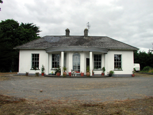 Mountpatrickhouse · 960 yd
 Georgestown Househouse · 1011 yd
 Mandevilles RockCastle, unclassified · 1.5 mi
 St. Bernard's WellSpring · 2.5 mi
 8 Arch GalleryGallery · 2.6 mi
 Site of Cas.Castle, unclassified · 2.6 mi
 Copper CoastCoastal geological landscape · 2.9 mi
 Bunmahon Miners' CottagesVisitor information · 3.0 mi
 Miners BucketVisitor information · 3.0 mi
 St. Martin's WellSpring · 3.1 mi