What is recorded here
In flat pasture falling gently to the SE. A ringfort (WA017-121----) was uncovered in an excavation c. 150m to the SW and prehistoric activity (WA017-121001-), in the form of post-holes and a possible cremation pit, were recovered c. 20m W of the fosse of rath. In 2019 testing (19E0143) was carried out in advance of a proposed housing development (Sutton 2019, unpublished report). Excavation revealed a sub-circular shallow pit (diam. 0.7m; D 0.14m) filled by a dark grey silty clay containing frequent charcoal flecks, moderate large charcoal pieces and large flat, cracked stones (av. Size 0.2m x 0.2m x 0.4m) (ibid. 4). A worked flint pebble scrapper was found in the pit (ibid.). An area 5m x 5m was exposed around the pit but no other archaeological features were identified (ibid.).
Compiled by: Jean Farrelly
Date of upload: 10 February 2021
The monument record does not grant public access. Check the route and ask the landowner before entering private land.
- What survives
- Recorded monument
Places near here
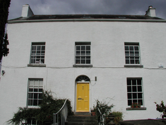 Grange Househouse · 930 yd
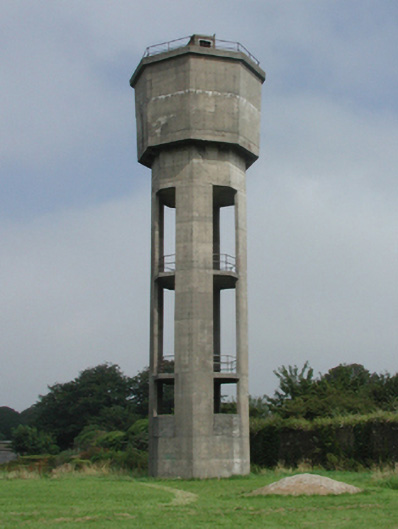 Saint Otteran's Hospitalwater tower · 974 yd
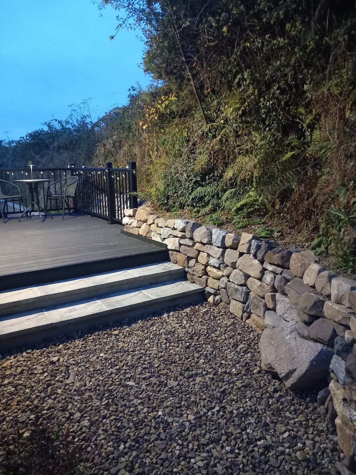 Hearth in KilcohanHearth · 1039 yd
 Hut site in Kill St. LawrenceHut site · 1152 yd
 Native Irish Tree TrailWood · 3.8 mi
 Sugar Loaf RockMountain / peak · 3.8 mi
 Native Woodland Trust:Grace Dieu ReserveWood · 3.9 mi
 Granny CastleCastle, tower house · 4.0 mi
 Cullen Castle (in ruins)Castle, tower house · 4.8 mi
 Mount Congreve GardensHeritage attraction · 5.0 mi
 Waterford & Suir Valley RailwayHeritage attraction · 6.5 mi
 Ballyscanlon HillMountain / peak · 7.2 mi