
What is recorded here
Archaeological test trenching by Yvonne Whitty under Licence 20E0571 for an 8.4-hectare extension to the existing quarry revealed two features of archaeological significance were identified at the southeast corner of the proposed quarry 3m from the field boundary and access laneway which will be preserved in situ.…
Read the whole record
From the National Monuments Service (Archaeological Survey of Ireland) record WI015-094
Places near here
Photo credits
- National Inventory of Architectural Heritage
- Maker not stated on source page, tr.pinterest.com
- Maker not stated on source page, commons.wikimedia.org
- Ridiculopathy, Wikimedia Commons · CC BY-SA 4.0
- Maker not stated on source page, en.wikipedia.org
- Maker not stated on source page, www.pinterest.com
- Maker not stated on source page, allthatsinteresting.com
- Andrewmc, Wikimedia Commons · CC BY 3.0
- Maker not stated on source page, www.dreamstime.com
- P L Chadwick, Wikimedia Commons · CC BY-SA 2.0
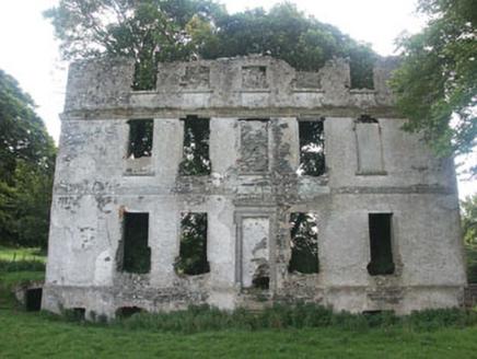 Tober HouseCountry house · 1264 yd
Explorer Tom Tober House claims to be older than the hills themselves, though we’re not entirely sure if that’s true or just…
 Old ChurchRuins · 1266 yd
Explorer Tom Old Church would tell you its deepest secret after a few pints: it actually prefers being a ruin to being a church. The…
 CastleCastle, unclassified · 1318 yd
Explorer Tom Castle in Tober Demesne is hiding near the ruined house, probably ordering a chip but no mash because it’s trying to be…
 Holy well in Tober Demesne,tober Lower,tober UpperHoly well · 1418 yd
Explorer Tom The holy well in Tober Demesne is unlocated, which is a fancy way of saying 'somewhere near the fence.' A fiddler…
 Burial mound in LemonstownBurial mound · 1.0 mi
Explorer Tom This burial mound in Lemonstown would survive a zombie attack by simply rolling them off the edge into the fosse below.…
 Fairy fort / earthen ringfort in Grangebeg (gilltown Ed)Fairy fort / earthen ringfort · 1.1 mi
Explorer Tom Fairy fort / earthen ringfort in Grangebeg hosted a dance that went on until the cows came home and complained about…
 Church in CrehelpChurch · 1.1 mi
Explorer Tom Church in Crehelp made Saint Patrick say 'that’s not my fault, it’s the ground’s fault'. He blamed the mud for making…
 Anomalous stone group in ForristeenAnomalous stone group · 1.2 mi
Explorer Tom Anomalous stone group in Forristeen is a disused quarry pit that used to be called a stone circle because we like to…
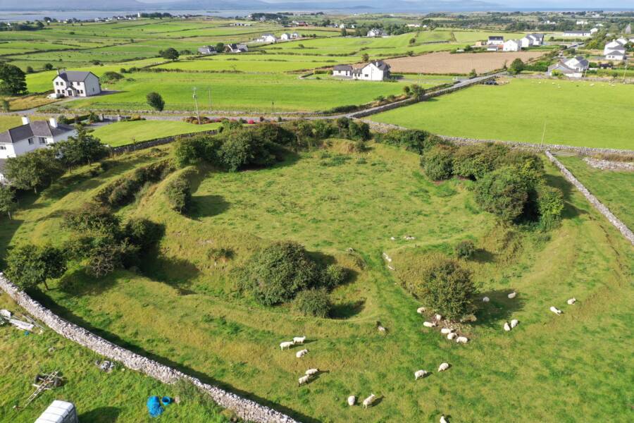 Fairy fort / ringfort in Grangebeg (gilltown Ed)Fairy fort / ringfort · 1.3 mi
Explorer Tom Fairy fort / ringfort in Grangebeg is claimed by a local who says he invented the concept of circularity. He’s not…
 Burial ground in CrehelpBurial ground · 1.5 mi
Explorer Tom Crehelp’s burial ground is home to a granite pillar that looks like it got stuck in a jammed window frame. They say…
 Graveyard in Dunlavin UpperGraveyard · 1.7 mi
Explorer Tom Graveyard in Dunlavin Upper nearly became famous when someone tried to turn it into a park, but the gravestones…
 Fair GreenPark · 1.7 mi
Explorer Tom Fair Green in Dunlavin looks like a modest village opening until its triangular shape and memorial ask you to stop. I…
More archaeology and monuments in County Wicklow · All of County Wicklow

What do you know about this place?Tap to add a comment or ask a question