What is recorded here
Number 117. A kidney-shaped fort stands fifty metres long on a south-facing slope above a narrow ravine in Grangebeg. Its earthen wall rises twelve hundred centimetres above the pasture, marking a boundary between human memory and fairy time. The fort does not demand belief; it waits for attention.
On a S-facing pasture slope immediately N of a narrow ravine, with the surrounding ground quarried away at NW and S. A raised (av. H 1.2m) kidney-shaped area (50m N-S; 40m E-S) is defined by a scarp. Visible on an OSi Orthophoto (2005).
Compiled by: Gearóid Conroy
Date of upload: 25 November 2013
The monument record does not grant public access. Check the route and ask the landowner before entering private land.
- What survives
- Recorded monument
Places near here
 IndicatedEnclosure · 992 yd
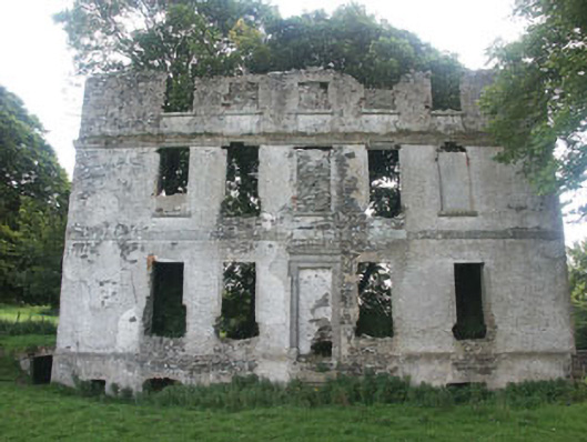 Tober Housecountry house · 1071 yd
 Church (Site of), Burial Gd.Church · 1106 yd
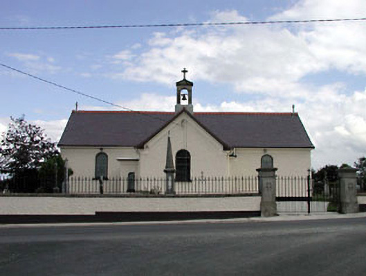 Saint Joseph's Catholic Churchchurch/chapel · 1.5 mi
 Memorial to 1798 rebellionMonument · 1.9 mi
 Castle in ruinsCastle, unclassified · 2.3 mi
 Burial ground in CrehelpBurial ground · 2.4 mi
 Castlefish (in Ruins)Castle, unclassified · 2.4 mi
 Glen WoodWood · 3.3 mi
 Site of Fair GreenForest · 3.4 mi
 Saint Kevin's CaveMemorial · 3.6 mi
 Hollywood SignHeritage attraction · 3.8 mi