
What is recorded here
Straddling the N end of a low narrow N-S pasture ridge. A very large circular area (int. diam.78m; ext diam. 108m) is defined by a low inner earthen bank (int. H 0.2m; Wth 2.4m at N-4.9m at E; ext H 1.7m) which has been dug away at S and nearly levelled (H 0.2m) between SW and NW, outside of which is a flat-bottomed fosse (Wth 1.7m at N-3m at E; D 0.7m at N-1.6m at E), and by a second, outer earthen bank (Wth 2m; ext H 1m) NW-N-SW. Between SW and NW the monument is abutted by a sunken trapezoidal shaped area (L 65m E-W; Wth at E 50m N-S; Wth at W 26m N-S) which is defined by the monument at its E end, by a scarp (H 1.8m) along its N and S sides, and by a natural hillock at its W end: probably a later feature.
Compiled by: Gearóid Conroy
Date of upload: 25 November 2013
The monument record does not grant public access. Check the route and ask the landowner before entering private land.
- What survives
- Recorded monument
Places near here
 Church (Site of), Burial Gd.Church · 1301 yd
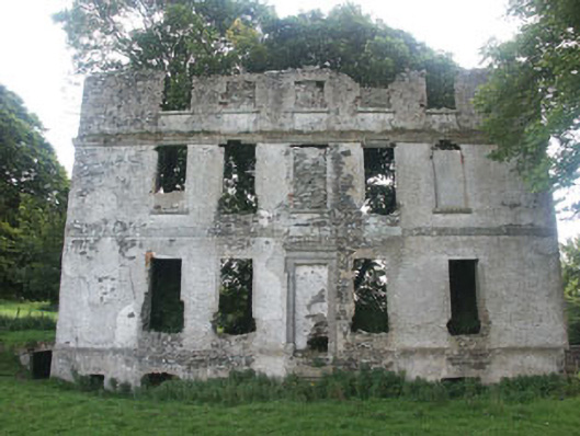 Tober Housecountry house · 1358 yd
 Burial ground in CrehelpBurial ground · 1.8 mi
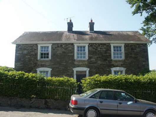 Hillgrove Househouse · 2.0 mi
 Castle in ruinsCastle, unclassified · 2.0 mi
 Church (Site of)Church · 2.1 mi
 Memorial to 1798 rebellionMonument · 2.2 mi
 Castlefish (in Ruins)Castle, unclassified · 3.0 mi
 Saint Kevin's CaveMemorial · 3.1 mi
 English hollyEnglish holly · 3.1 mi
 European YewEuropean Yew · 3.2 mi
 Hollywood SignHeritage attraction · 3.3 mi
Other information
Photo: Credit not shown in the picture search · Rights wording not checked; contact us if this picture should be removed