What is recorded here
Archaeological works, undertaken in 2004 in advance of the construction of the N8 Mitchelstown relief road, revealed a pit that exhibited signs of in situ burning. This burnt pit was part of a complex of almost 100 pits, post-holes and stake-holes (CO019-172----). Two sherds of prehistoric pottery were discovered in an extremely shallow feature to the S. (Sutton 2006e; 2007d, 69-70)
The above description is derived from 'The Archaeological Inventory of County Cork. Volume 5' (Dublin: Stationery Office, 2009).
Date of upload: 22 December 2009
The monument record does not grant public access. Check the route and ask the landowner before entering private land.
- What survives
- Recorded monument
Places near here
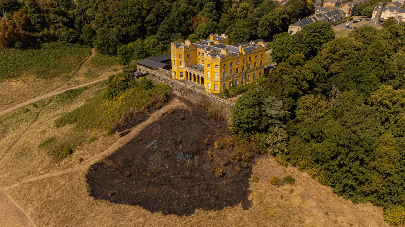 Pit-burial in Stag ParkPit-burial · 8 yd
 Folacht FiadhFulacht fia · 200 yd
 KilnKiln, corn-drying · 532 yd
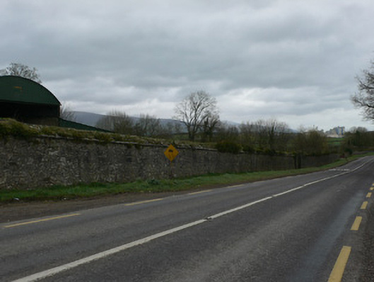 demesne walls/gates/railingsdemesne walls/gates/railings · 833 yd
 White Knights Tower (Site of)Castle, unclassified · 1617 yd
 Statue of Saint FanahanMemorial · 1758 yd
 Mitchelstown Town MapVisitor information · 1.1 mi
 John MandevilleMemorial · 1.1 mi
 Carriganoura Castle (in Ruins)Castle, tower house · 1.4 mi
 FlagCave · 2.7 mi
 Kilclooney WoodWood · 4.4 mi
 St Dominick's WellSpring · 5.5 mi