What is recorded here
Located on a S-facing slope beside a spring. This is a mound of burnt and cracked stones (diam. 18m; H 0.3m) visible when the area is ploughed.
The above description is derived from the published 'Archaeological Inventory of County Wexford' (Dublin: Stationery Office, 1996). In certain instances the entries have been revised and updated in the light of recent research.
Compiled by: Michael Moore
Date of upload/revision: 18 July 2012
Burnt mound in Slievenagrane is a fulacht fiadh, typically associated with the Bronze Age in Ireland. These features are significant as they provide insights into prehistoric cooking, processing, or ritual activities.
The monument record does not grant public access. Check the route and ask the landowner before entering private land.
- What survives
- Recorded monument
Places near here
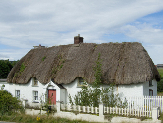 farm housefarm house · 1018 yd
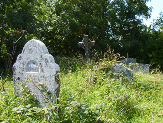 Castle-Ellis Church (Castle-Ellis)graveyard/cemetery · 1174 yd
 1798 MonumentMemorial · 1207 yd
 St. Johns WellHoly well · 1355 yd
 IndicatedEnclosure · 1677 yd
 1916 MemorialMemorial · 1.7 mi
 Battle of Oulart Hill signVisitor information · 2.1 mi
 Ballingowan MoteCastle, motte · 2.3 mi
 Oulart HillMountain / peak · 2.5 mi
 Embanked enclosureCastle, motte · 3.1 mi
 71Mountain / peak · 3.7 mi
 Fontainebleau service treeFontainebleau service tree · 4.1 mi