What is recorded here
Situated in scrubland on the S bank of and close to the source of a small E-W stream, known as the Monroe. Monitoring of topsoil removal (E004785) during the construction phase of the M11 Gorey to Enniscorthy motorway in October 2016 identified two spreads of burnt stone c. 80m apart. The E feature extended outside the road corridor, and excavation was conducted in November/December 2016 under the same licence. This W spread (dims 9m x 6.4m) was completely excavated and it was the full extent of a kidney-shaped mound (dims 7m E-W; 3m N-S; max. D 0.3m). There was no evidence of a trough directly beneath it, but a small spread (dims 1.4m x 1.2m; max. D 0.2m) of heat-affected sand c. 3m to the W may have been a hearth. A small pit (dims 1.2m x 1m; D 0.25m) c. 25m E of the mound is the only possible trough, from which a sample of ash charcoal produced a C14 date of 2296-2060 cal. BC. No artefacts were recovered. (Turrell and Kavanagh 2018)
Compiled by: Michael Moore
Date of upload: 23 October 2020
Burnt mound in Roperstown is a prehistoric ritual or industrial site, likely dating to the Neolithic or Bronze Age. Its significance lies in providing evidence of early land use and possible ceremonial activity in the region.
The monument record does not grant public access. Check the route and ask the landowner before entering private land.
- What survives
- Recorded monument
Places near here
 Fulacht fia in RoperstownFulacht fia · 93 yd
 Fulacht fia in ScurlocksbushFulacht fia · 585 yd
 Scurlocksbush HillMountain / peak · 611 yd
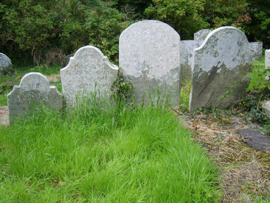 Edermine Church (Edermine)graveyard/cemetery · 1011 yd
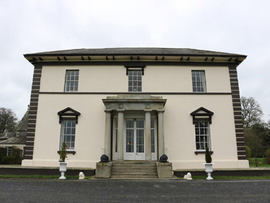 Edermine Housecountry house · 1387 yd
 Black Castle (in ruins)Castle, tower house · 1.2 mi
 King's IslandIsland · 1.9 mi
 CastleCastle, ringwork · 2.4 mi
 National 1798 CentreMuseum · 3.4 mi
 Battle of Vinegar HillMajor battlefield · 3.7 mi
 Duffry GateMemorial · 3.8 mi
 U.N. Peace MemorialMonument · 3.9 mi