What is recorded here
Located on a gentle W-facing slope just W of a low col between slightly higher ground c. 1km to the SW and c. 500m to the N. It is also close to the headwaters of a small E-W stream. This is an oval area of burnt and cracked stones and black soil (dims. 9m x 7m) visible when the area is ploughed.
The above description is derived from the published 'Archaeological Inventory of County Wexford' (Dublin: Stationery Office, 1996). In certain instances the entries have been revised and updated in the light of recent research.
Compiled by: Michael Moore
Date of upload/revision: 16 August, 2012
Burnt mound in Rathgaroge is a Neolithic ritual or industrial site, dating to the 4th–3rd millennia BCE. Its significance lies in providing evidence of early human activity, possibly related to heat-treated stone use or ceremonial practices.
The monument record does not grant public access. Check the route and ask the landowner before entering private land.
- What survives
- Recorded monument
Places near here
 Site of R. C. ChapelChurch · 170 yd
 Site of CastleCastle, unclassified · 523 yd
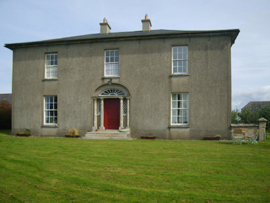 Sweetmount Housefarm house · 655 yd
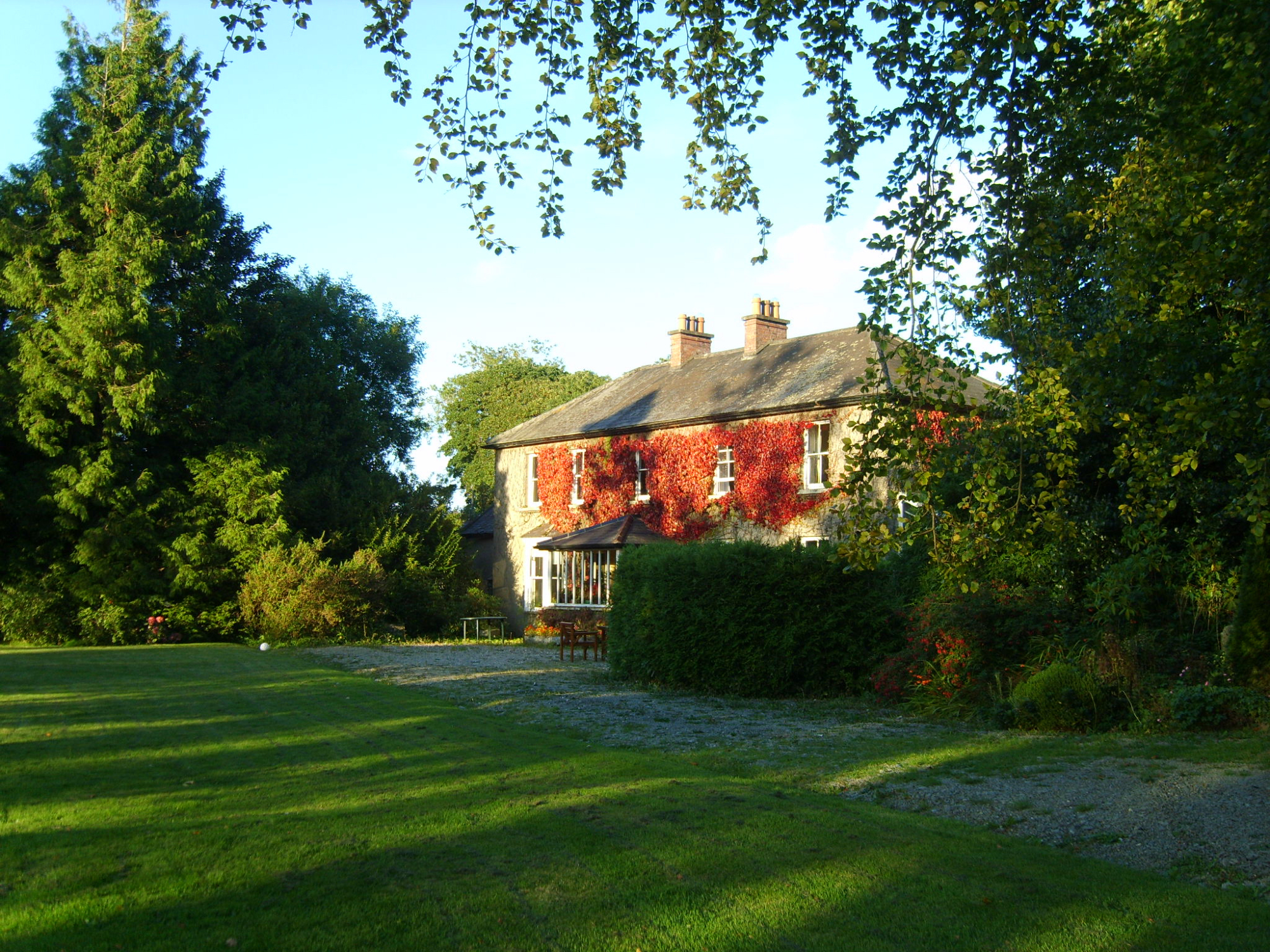 Knockroe Housefarm house · 1066 yd
 Castle (in ruins)Castle, unclassified · 1458 yd
 Embanked enclosureFairy fort / earthen ringfort · 1729 yd
 Forest Of The DunbrodyForest · 1.4 mi
 Lacken HillMountain / peak · 1.6 mi
 Silver WattleSilver Wattle · 3.5 mi
 Crutched FriarsMemorial · 3.8 mi
 Carrickmastia HillMountain / peak · 5.0 mi
 Graveyard in St. Mullin'sGraveyard · 5.4 mi