What is recorded here
Burnt mound in Rahill is a dark 15m patch of soil on a slight rise, about 20m northwest of the church and graveyard in County Carlow. It is the kind of place where heat, water and patience may have shaped a basin for cooking, cleaning or ritual before anyone wrote the account down. The mound still sits beside a living sacred site, as if domestic fire and prayer shared one small landscape.
A distinctive dark patch of soil (diam. c. 15m) on a slight rise, c. 20m to the NW of church and graveyard (CW001-003001- and CW001-003002-), was noted during inspection by the National Monuments Service in October 1988.
Compiled by: Claire Breen
Date of upload: 6 January 2012
Burnt mound in Rahill is a prehistoric ritual or industrial site, likely dating to the Neolithic or Bronze Age. Its significance lies in providing evidence of ancient heating or ceremonial activities, though its exact function remains unclear.
The monument record does not grant public access. Check the route and ask the landowner before entering private land.
- What survives
- Recorded monument
Places near here
 Rahill Church (in ruins), GraveyardChurch · 32 yd
 Enclosure in RahillEnclosure · 96 yd
 Enclosure in BroughillstownEnclosure · 1296 yd
 Site of CastleCastle, unclassified · 1451 yd
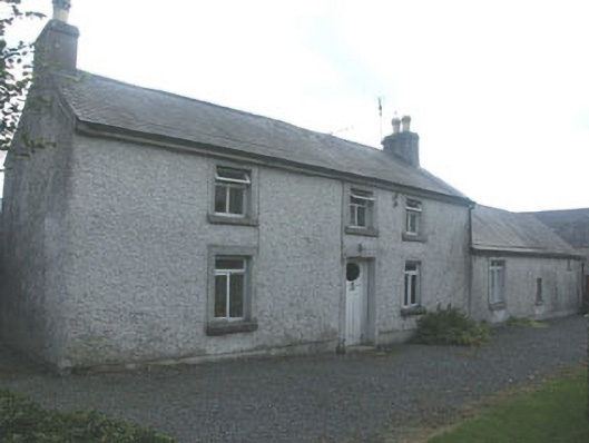 Holdenstown Lodgefarm house · 1.3 mi
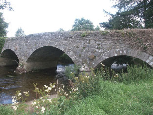 Aldborough Bridgebridge · 1.3 mi
 MoatamoyCastle, motte · 3.0 mi
 Tinoran HillMountain / peak · 3.5 mi
 European BeechEuropean Beech · 3.6 mi
 Church (in ruins), Cross, GraveyardChurch · 3.8 mi
 European ashEuropean ash · 4.1 mi
 Saint Brigit's Mass StoneNamed rock · 4.3 mi