What is recorded here
Located c. 30m NW of a moated site (KK024-027----). Archaeological monitoring (licence no. 04E0645) identified a burnt mound (dims. 12m N-S; min. 7m E-W) which survives as a truncated spread of heat-shattered stone and charcoal c. 0.25-0.3m beneath the sod (McLoughlin 2004, 4-5). Two pits are located c. 1-1.5m to the W of the burnt mound (ibid. 5). The fill of the larger pit (dims. 1.6m N-S; D 0.5m) had moderate inclusions of charcoal and burnt stone, while the smaller pit (dims. 1.2m N-S; D 0.4m), c. 5m to the N, had some stone and charcoal inclusions (ibid.). Another pit (dims. 1.3m N-S; 0.7m E-W) is located c. 2.8m N of the burnt mound spread (ibid.). The proximity of these pits to the burnt mound suggests they are likely to be associated with it.
Compiled by: Jean Farrelly
Date of upload: 19 October 2021
Burnt mound in Neigham is a Bronze Age ritual or industrial feature, characterized by heat-shattered stones. Its association with a nearby moated site suggests potential links to domestic or ceremonial activity in the later prehistoric period.
The monument record does not grant public access. Check the route and ask the landowner before entering private land.
- What survives
- Recorded monument
Places near here
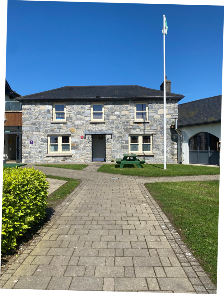 Enclosure in Bramblestown,neighamEnclosure · 351 yd
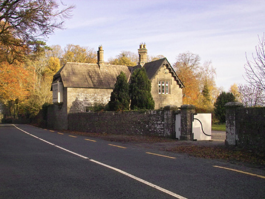 Gowran Castlegate lodge · 715 yd
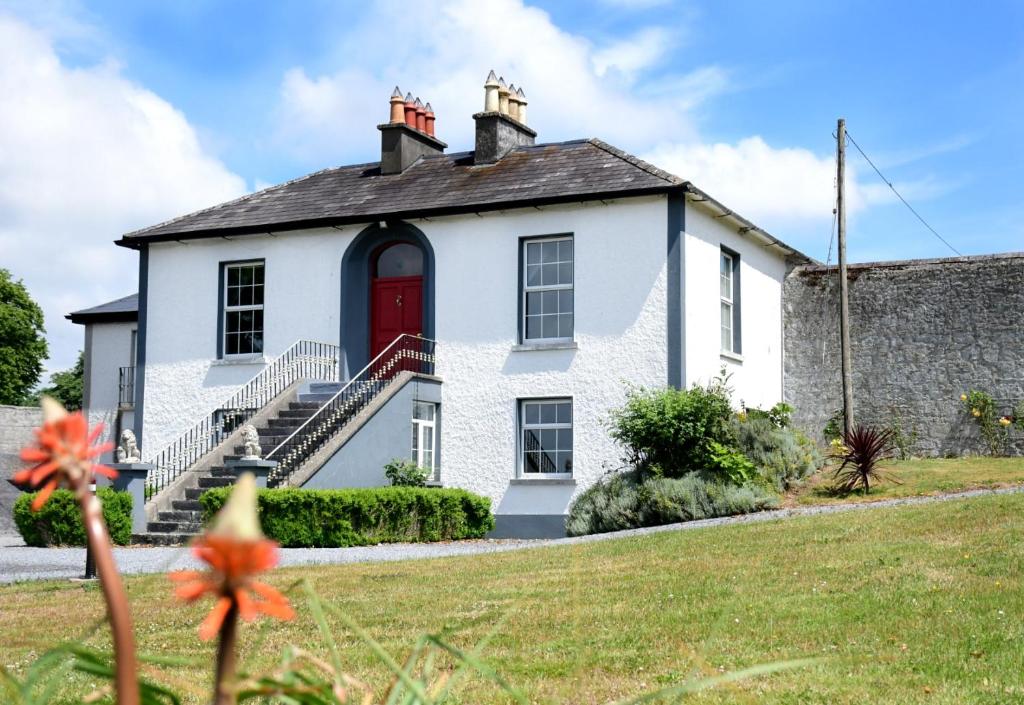 Enclosure in NeighamEnclosure · 1070 yd
 IndicatedBawn · 1480 yd
 Neigham CastleCastle, tower house · 1485 yd
 Red BogForest · 1532 yd
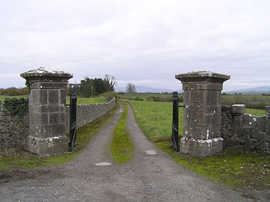 gates/railings/wallsgates/railings/walls · 1642 yd
 The Pey FieldForest · 2.0 mi
 Tullaherin Church and Round TowerVisitor information · 3.0 mi
 Kilbline GraveyardArchaeological place · 4.0 mi
 Time CapsuleMemorial · 4.6 mi
 St. Mogarra’s WellSpring · 5.5 mi