What is recorded here
Discovered during pre-development test excavation (Excavation Licence No. 98E0440 ext.). Situated immediately to NE of a linear ditch (LH012-075----). Composed of charcoal rich silty clay and burnt stone, with a max. D of 0.2m. (McLoughlin 2000, 214)
Compiled by: Claire Breen
Date of uplaod: 20 April 2012
Burnt mound in Mullagharlin is a Bronze Age ritual or industrial site, characterized by heat-shattered stones and charcoal-rich deposits. Its significance lies in providing evidence of early land use and possible ceremonial activity in the prehistoric landscape.
The monument record does not grant public access. Check the route and ask the landowner before entering private land.
- What survives
- Recorded monument
Places near here
 Enclosure in MullagharlinEnclosure · 411 yd
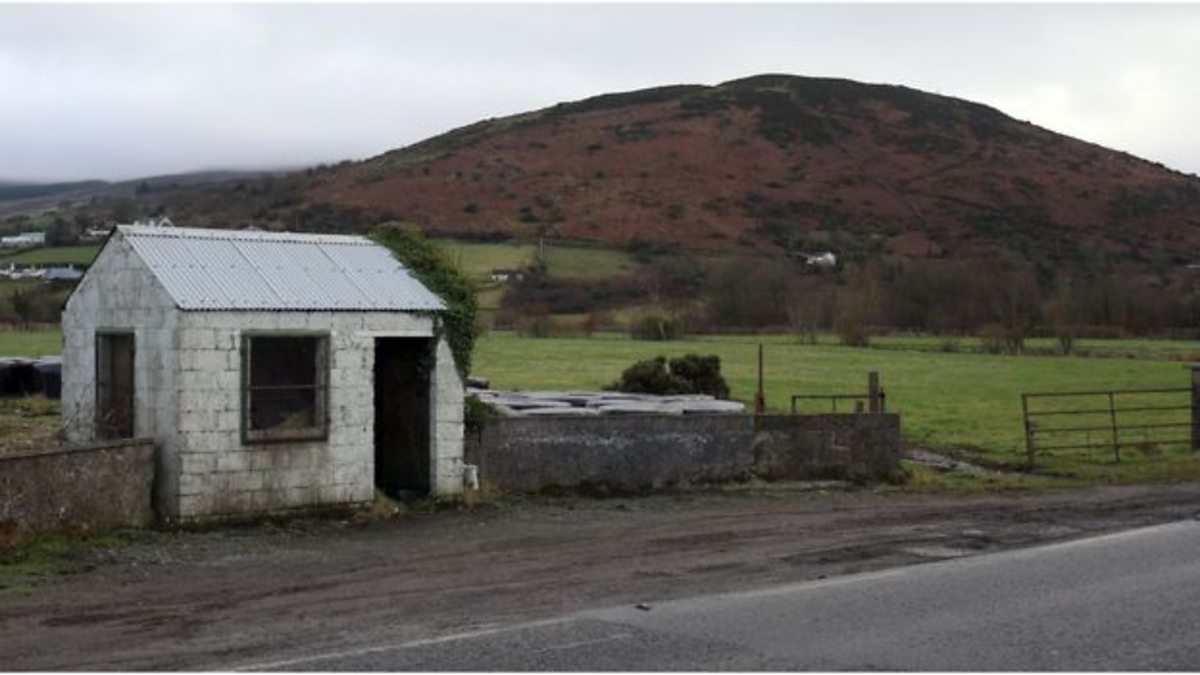 Enclosure in HaggardstownEnclosure · 479 yd
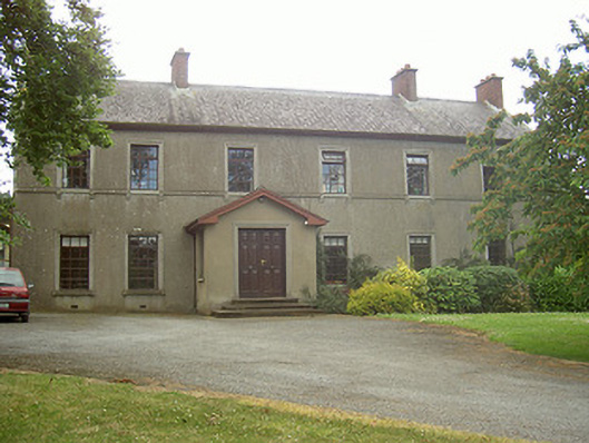 Mullaharlin Househouse · 503 yd
 Saint Fursey's Catholic Churchchurch/chapel · 761 yd
 CastleCastle, unclassified · 1194 yd
 IndicatedCastle, unclassified · 1469 yd
 BallybarrackMountain / peak · 1.4 mi
 Broad WoodForest · 1.6 mi
 Long WoodForest · 1.7 mi
 Photo GalleryHeritage attraction · 2.0 mi
 Dundalk CentralHeritage attraction · 2.0 mi
 Bombing 1975Memorial · 2.0 mi