What is recorded here
In pasture, located on SE-facing slope bordering the W bank of the Mullaghanoe River.
A roughly circular surface spread (diam. c. 15m) of heat-shattered stone in a matrix of charcoal-rich soil was visible in August 1998 c. 3m W of the river bank. The remains were exposed during clearance of scrub from the river bank.
There is another burnt spread (MA063-065----) c. 35m to S and a rath (MA063-005----) is located 30m to SW.
Compiled by: Jane O’Shaughnessy
Date of upload: 9 December 2020
Burnt mound in Lowpark is a Neolithic ritual or industrial site, dating to the third millennium BCE. Its significance lies in providing evidence of early human activity, possibly related to ceremonial practices or heat-dependent processes such as hide-scalding or cooking.
The monument record does not grant public access. Check the route and ask the landowner before entering private land.
- What survives
- Recorded monument
Places near here
 Saint James's Catholic Churchchurch/chapel · 578 yd
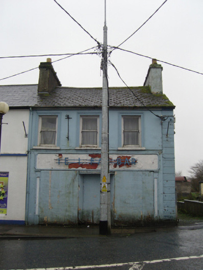 The Ideal Barhouse · 715 yd
 IndicatedFairy fort / earthen ringfort · 1.1 mi
 TobernacullyHoly well · 1.2 mi
 Old Cave Burial GroundArchaeological place · 5.0 mi
 East Mayo Brigade MonumentMemorial · 7.1 mi
 Castle (in Ruins)Castle, tower house · 7.5 mi
 Bockagh HillMountain / peak · 8.0 mi
 Rath Castle in ruinsCastle, tower house · 8.1 mi
 Thorn CaveCave · 8.4 mi
 Lough Talt TrailVisitor information · 10 mi
 Kiltimagh MuseumMuseum · 11 mi