
What is recorded here
From the National Monuments Service (Archaeological Survey of Ireland) record MA070-228
Places near here
Photo credits
- National Inventory of Architectural Heritage
- Tripadvisor contributor; photographer not stated, Tripadvisor
- Maker not stated on source page, www.tripadvisor.ie
- Maker not stated on source page, commons.wikimedia.org
- Maker not stated on source page, www.pinterest.com
- Western People; photographer not stated (Stuart Tynan is article author), www.westernpeople.ie
- Maker not stated on source page, www.mayo-ireland.ie
- Maker not stated on source page, www.airbnb.co.in
- Maker not stated on source page, www.dreamstime.com
- Keith Salvesen, Geograph · CC BY-SA 2.0
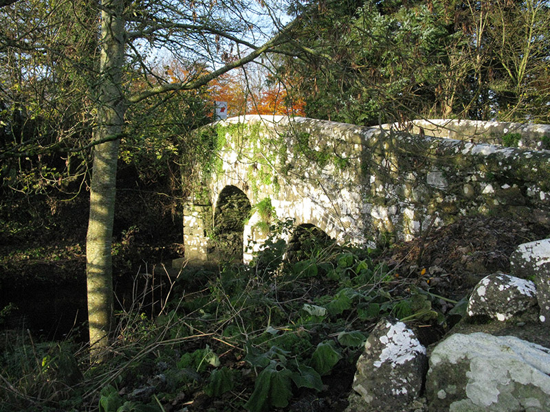 bridge892 yd
Explorer Tom Bridge in Knockshanbally crosses the Strade River with an elegant arch that makes it look better than it actually is.…
 Michael Davitt MuseumMuseum · 950 yd
Explorer Tom Michael Davitt has a museum in the Mayo village of Straide where he was born, raised and buried, which is a tidy enough…
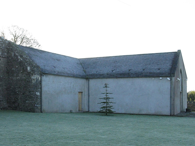 church/chapel951 yd
Explorer Tom Church or chapel in Strade has that traditional T-shaped plan form aligned correctly for liturgy, which is quite…
 Abbey (Site of)Religious house, Franciscan friars · 979 yd
Explorer Tom The Abbey in Strade was designed by a mother-in-law who wanted everyone to feel slightly cramped. The friars moved out…
 Holy well in Lack EastHoly well · 1.6 mi
Explorer Tom Holy well in Lack East is stuck in a fairy dispute over parking rights that dates back centuries. The little guys are…
 Ballyvary, Ballyvary HurlingGAA ground · 2.2 mi
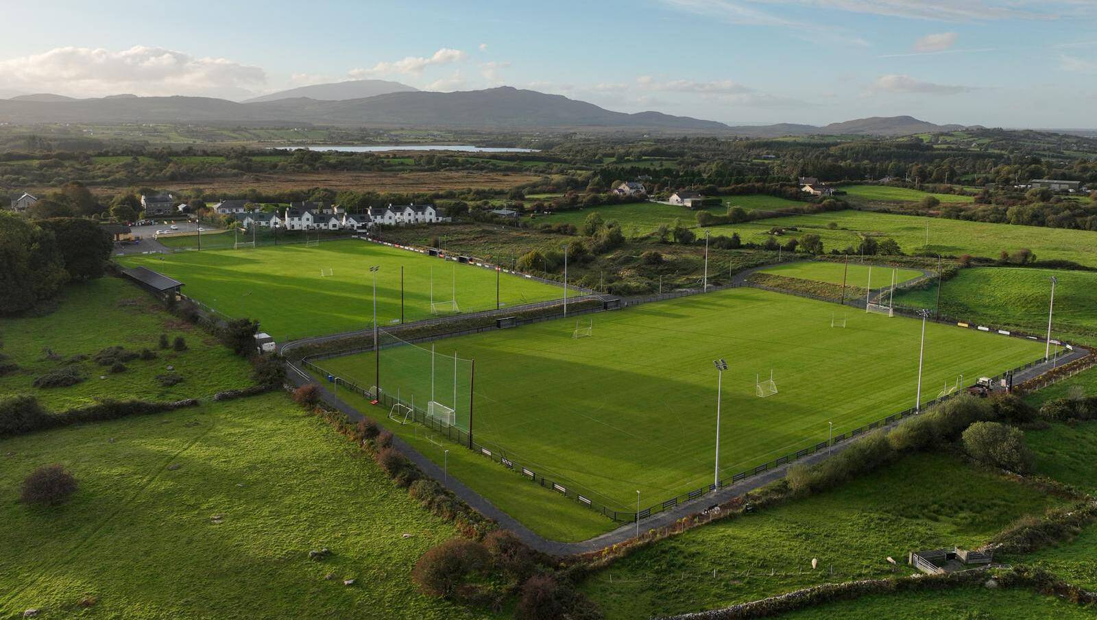 Parke, Parke-Keelogues-Crimlin GAAGAA ground · 2.3 mi
 Clydagh BridgeVisitor information · 5.1 mi
Explorer Tom Clydagh Bridge has this visitor info spot that seems to be in a permanent feud with the rain. It’s all muddy and damp…
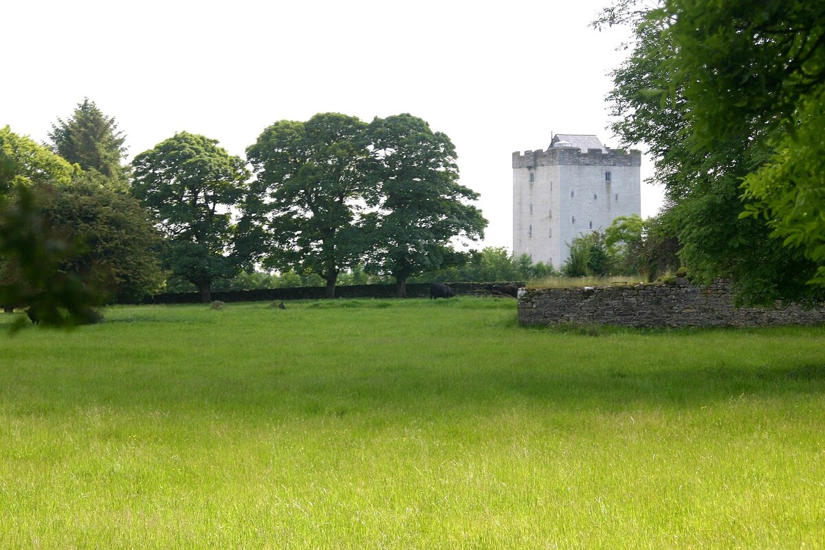 CastleCastle, unclassified · 5.8 mi
Explorer Tom Castle (Site of) in Liscromwell is being picked on by the wind because it won’t stand tall. It’s got that 'I was here…
 Ballynew CemeteryGraveyard · 6.0 mi
Explorer Tom Ballynew Cemetery in County Mayo has made a New Year's resolution to stop being so dramatic about the fog rolling in.…
 MacPhilbins Castle (in ruins)Castle, tower house · 15 mi
Explorer Tom MacPhilbins Castle would win a county fair by simply existing and looking impressive while doing nothing. It’s a tower…
 Sheeffry PassMountain pass · 27 mi
Explorer Tom Sheeffry Pass is the kind of mountain road that makes you feel like an explorer even when you're just trying to find…
More archaeology and monuments in County Mayo · All of County Mayo

What do you know about this place?Tap to add a comment or ask a question