What is recorded here
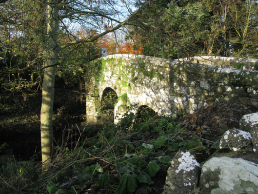
Bridge in Knockshanbally has three arches over the Strade River and was bypassed in 1983. Three grand openings, and the traffic went elsewhere. It has the makings of a furious letter to the council, if the ivy would lend it a pen.
Three-arch hump back road bridge over river, extant 1838. Bypassed, 1983. Part creeper- or ivy-covered walls centred on triangular cutwaters to piers to upriver (south) elevation having overgrown pyramidal capping with lichen-covered rounded coping to parapets. Series of three round arches with lichen-covered cut-limestone voussoirs centred on lichen-covered cut-limestone keystones. Sited spanning Strade River with unkempt grass banks to river.
A bridge representing an integral component of the civil engineering heritage of County Mayo with the architectural value of the composition suggested not only by the sheer limestone dressings demonstrating good quality workmanship, but also by the elegant "sweep" of the arches making a pleasing visual statement at a crossing over the Strade River: meanwhile, a discreet benchmark remains of additional interest for the connections with cartography and the preparation of maps by the Ordnance Survey (established 1824).
From the Buildings of Ireland (National Inventory of Architectural Heritage) record 31307030
This does not grant access. Most recorded buildings are privately owned; view them only from public ground unless the owner allows entry.
Places near here
Michael DavittMemorial · 58 yd church/chapel59 ydmausoleum75 ydBallylahan Castle in RuinsCastle, Anglo-Norman masonry castle · 1.4 miCastle (in Ruins)Castle, motte · 2.0 miGrave YardGraveyard · 3.1 miOak WoodWood · 3.8 miTowerRound tower · 3.9 miNational Museum of Ireland, Country LifeMuseum · 4.1 miSunken GardenWood · 4.2 miAdmiral William BrownMemorial · 4.2 miLough CullinViewpoint · 4.7 mi
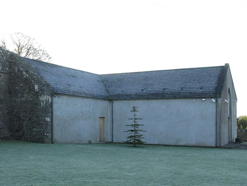 church/chapel59 yd
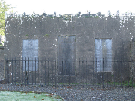 mausoleum75 yd
 Ballylahan Castle in RuinsCastle, Anglo-Norman masonry castle · 1.4 miCastle (in Ruins)Castle, motte · 2.0 mi
 Grave YardGraveyard · 3.1 miOak WoodWood · 3.8 mi
 TowerRound tower · 3.9 mi
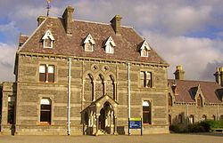 National Museum of Ireland, Country LifeMuseum · 4.1 miSunken GardenWood · 4.2 miAdmiral William BrownMemorial · 4.2 mi
 Lough CullinViewpoint · 4.7 mi
Pictures: National Inventory of Architectural Heritage; Pamela Norrington, Geograph · CC BY-SA 2.0; Pamela Norrington, Geograph · Creative Commons Attribution-ShareAlike 2.0; Ken Ratcliff, Wikimedia Commons · CC BY 2.0; Shanehahaha, Wikimedia Commons · CC BY-SA 3.0; Kay Atherton, Geograph · CC BY-SA 2.0
More historic places in County Mayo · All of County Mayo
What do you know about this place?