What is recorded here
A limited excavation in 2000 was carried out adjacent to an enclosuse (TS060-004----) (Hodkinson 2002, 322). It revealed a c. 0.1m thick deposit of burnt stone and charcoal, sandwiched between c. 0.3m of topsoil and the natural subsoil (ibid.). The deposit appears to measure 14-15m N-S by 7-8m E-W (ibid.). The deposit is in the lowest and dampest part of the field, and it is tentatively identified as material from a fulacht fiadh (ibid.).
Compiled by: Jean Farrelly
Date of upload: 15 July 2014
A Bronze Age burnt mound; significance relates to ritual or industrial activity.
The monument record does not grant public access. Check the route and ask the landowner before entering private land.
- What survives
- Recorded monument
Places near here
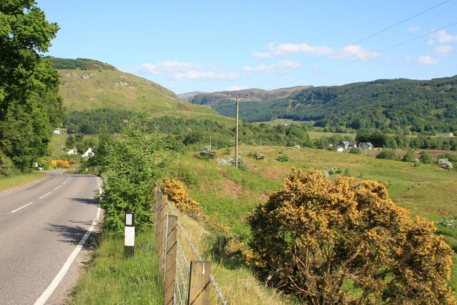 IndicatedEnclosure · 44 yd
 Enclosure in Kilmore UpperEnclosure · 248 yd
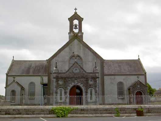 Catholic Church of the Assumptionchurch/chapel · 690 yd
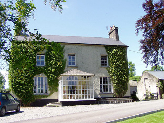 Ballywalter Househouse · 1052 yd
 European ashEuropean ash · 1182 yd
 Woodcock GroveWood · 1595 yd
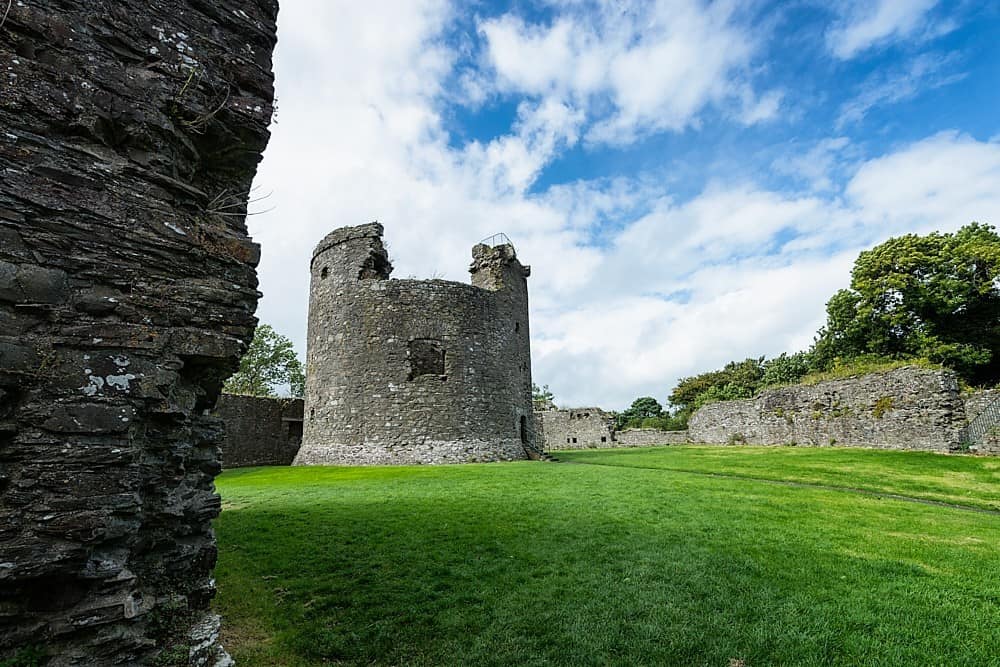 Site of CastleCastle, unclassified · 1686 yd
 Castle (in ruins)Castle, tower house · 1.6 mi
 Athassel PrioryHeritage attraction · 4.6 mi
 The Maid of ErinMemorial · 7.8 mi
 The RockViewpoint · 9.3 mi
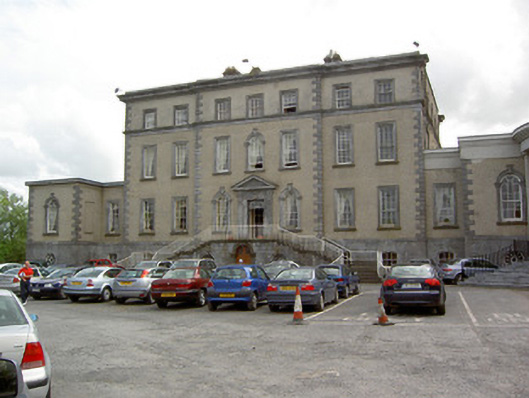 Dundrum Housecountry house · 1175 yd