What is recorded here
Situated at the bottom of a N-S valley at the E side with the N-S stream immediately to the W. An area of burnt and broken stone (diam. 11m) is visible when ploughed.
The above description is derived from the published 'Archaeological Inventory of County Waterford' (Dublin: Stationery Office, 1999). In certain instances the entries have been revised and updated in the light of recent research.
Compiled by: Michael Moore.
Date of upload/revision: 21st December 2010.
Burnt mound in Johnstown is a Neolithic ritual or industrial site, dating to approximately 4000–2500 BCE. Its significance lies in providing evidence of early human activity, possibly related to heat-treated processes or ceremonial practices.
The monument record does not grant public access. Check the route and ask the landowner before entering private land.
- What survives
- Recorded monument
Places near here
 Burnt spread in JohnstownBurnt spread · 134 yd
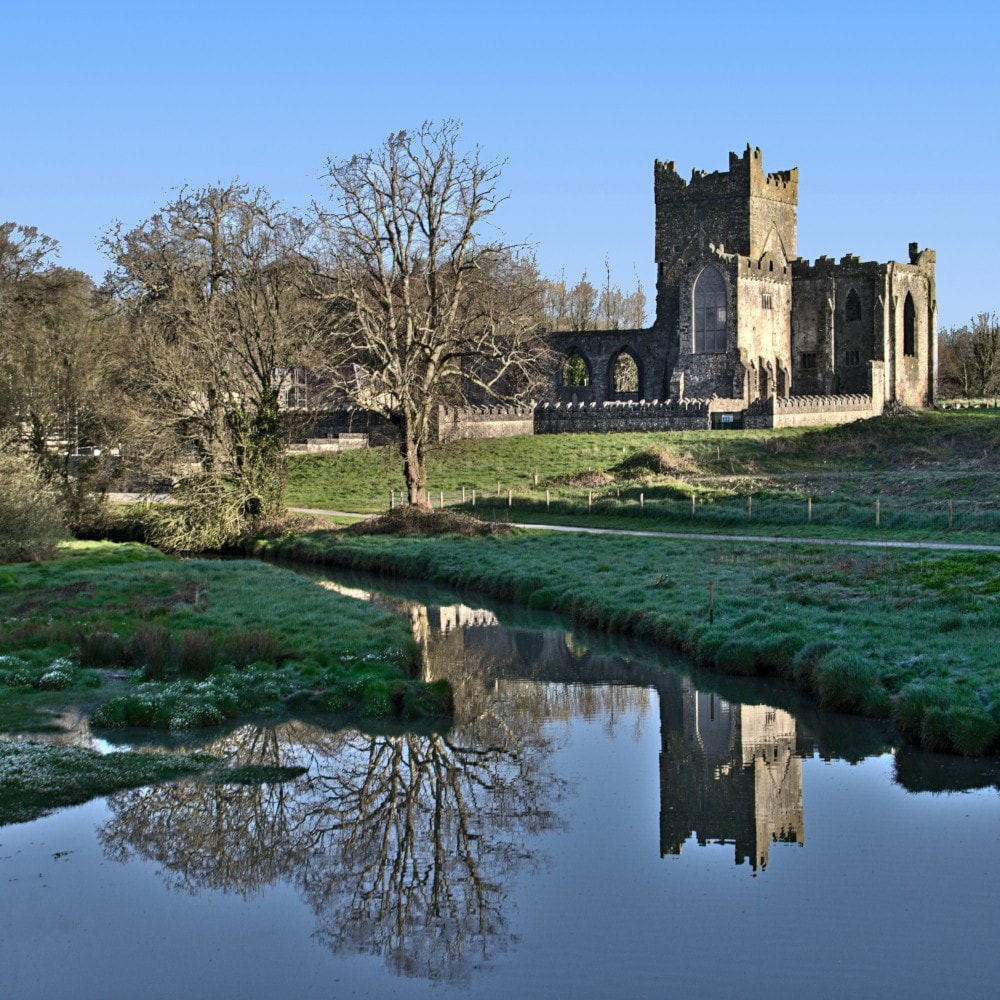 Burnt mound in JohnstownBurnt mound · 257 yd
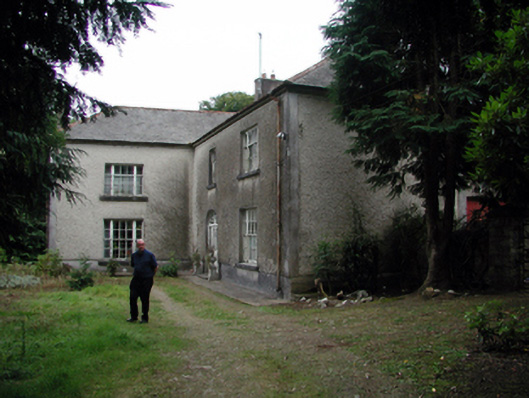 Knockaderry Househouse · 1241 yd
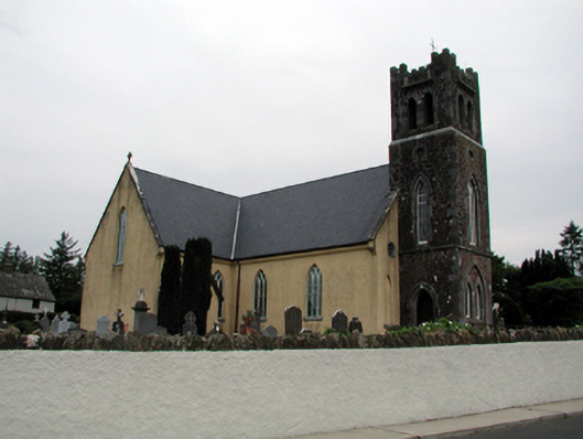 Saint Nicholas's Catholic ChurchOfficially recorded historic building · 1.2 mi
 Site of CastleCastle, unclassified · 1.7 mi
 Waterford & Suir Valley RailwayHeritage attraction · 2.5 mi
 Mote or TumulusCastle, motte · 2.6 mi
 Sweet micheliaSweet michelia · 2.9 mi
 Sargent's magnoliaSargent's magnolia · 2.9 mi
 Mount Congreve GardensHeritage attraction · 3.2 mi
 St. Martin's WellSpring · 3.4 mi
 Ballyscanlon HillMountain / peak · 4.1 mi