What is recorded here
Situated at the N end of a N-S valley with the headwaters of a N-S stream c. 30m to the W. An area of burnt and broken stones (diam. 12m N-S; 9.5m E-W) is visible in the ploughed field. Burnt mound (WA016-104001-) is immediately to the W.
Compiled by: Michael Moore.
Date of upload/revision: 21st December 2010.
Burnt mound, Late Neolithic or Early Bronze Age. Associated with ritual or industrial activities involving heat.
The monument record does not grant public access. Check the route and ask the landowner before entering private land.
- What survives
- Recorded monument
Places near here
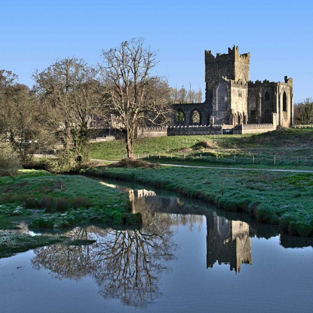 Burnt mound in JohnstownBurnt mound · 281 yd
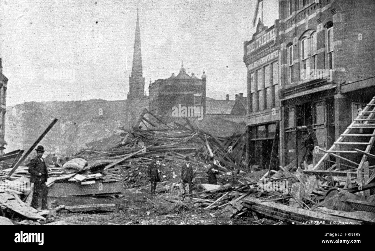 Burnt spread in JohnstownBurnt spread · 526 yd
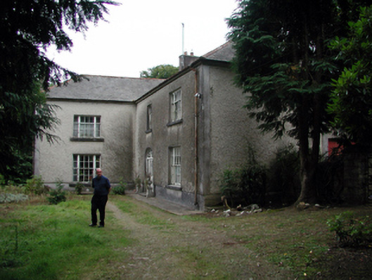 Knockaderry Househouse · 1459 yd
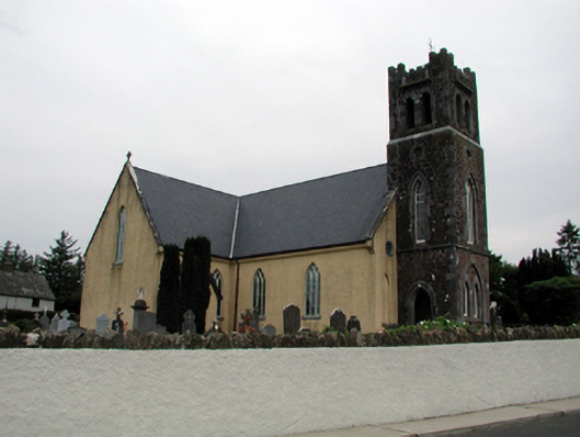 Saint Nicholas's Catholic ChurchOfficially recorded historic building · 1576 yd
 Site of CastleCastle, unclassified · 1.7 mi
 Waterford & Suir Valley RailwayHeritage attraction · 2.3 mi
 Mote or TumulusCastle, motte · 2.7 mi
 Sweet micheliaSweet michelia · 2.7 mi
 Sargent's magnoliaSargent's magnolia · 2.7 mi
 Mount Congreve GardensHeritage attraction · 3.0 mi
 St. Martin's WellSpring · 3.7 mi
 Donnell's HillMountain / peak · 4.2 mi