What is recorded here
This burnt mound has been levelled. A cropmark, consisting of an oblong flat area (c. 8m N–S; c. 4m E–W) of firm ground marked by a growth of short green grass, appears to give some indication of the extent of the mound. It is surrounded by softer, wetter rush-grown ground. Along the eroded E margin of the cropmark, at its interface with an expanse of wet boggy ground, a shallow layer (D 0.1-0.2m) of angular stone fragments in black charcoal-rich soil is exposed in section.
Compiled by: Jane O'Shaughnessy
Date of upload: 20 February 2014
Burnt mound, Late Neolithic or Early Bronze Age. These features are commonly associated with domestic or ritual activities, though their exact function remains debated.
The monument record does not grant public access. Check the route and ask the landowner before entering private land.
- What survives
- Recorded monument
Places near here
 IndicatedHoly well · 22 yd
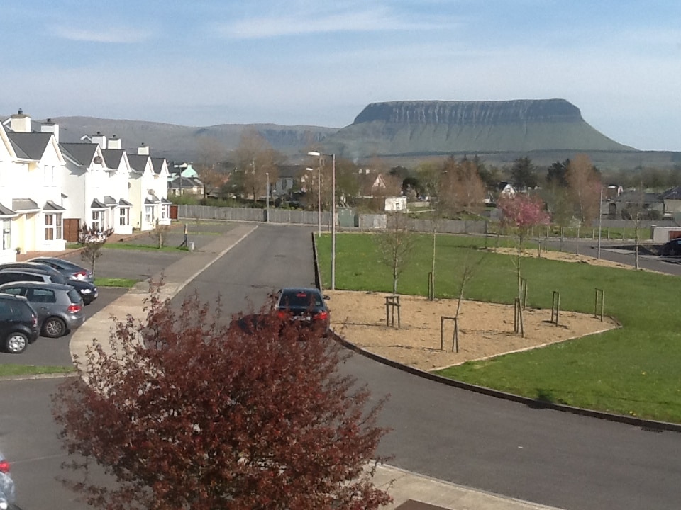 CashelmoreFairy fort / stone ringfort · 359 yd
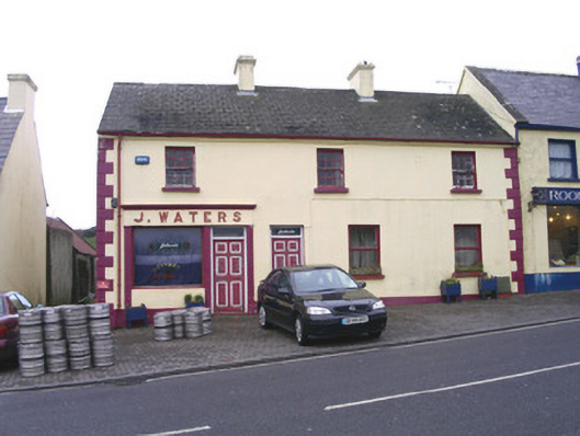 J. Watershouse · 405 yd
 CastleCastle, unclassified · 405 yd
 Catholic Church of Mary Immaculatechurch/chapel · 423 yd
 InishnagorIslet · 1069 yd
 Atlantic SheepdogsHeritage attraction · 1745 yd
 Connors IslandIsland · 1.3 mi
 Streedagh BeachVisitor information · 1.6 mi
 de Cuellar Armada MonumentMemorial · 1.7 mi
 BenbulbinMountain / peak · 2.9 mi
 Upperglen WoodForest · 3.1 mi