What is recorded here
Excavated in 2006 in advance of the M8/N8 Cullahill to Cashel Road Improvement Scheme (Excavation licence no. E2394, Area 2, Site C). A mound split into three as a result of heavy disturbance from ploughing. The largest section measured 2.2m NW-SE by 1.9m E-W (D 0.1m). It consisted of dark loosely compacted silty sand with charcoal and frequent burnt stone. Two fulachta fia (KK008-173---- and KK008-174----) lie c. 50m to the NE. (Hardy and Green 2009; Hardy 2009, 262, no. 1026)
Compiled by: Mary Tunney
Date of upload: 9 October 2013
Burnt mound in Glashare is a Bronze Age ritual or industrial site, dated to approximately 2000–800 BCE. Its significance lies in providing evidence of early land use, heat-related activities, and possible ceremonial practices in the region.
The monument record does not grant public access. Check the route and ask the landowner before entering private land.
- What survives
- Recorded monument
Places near here
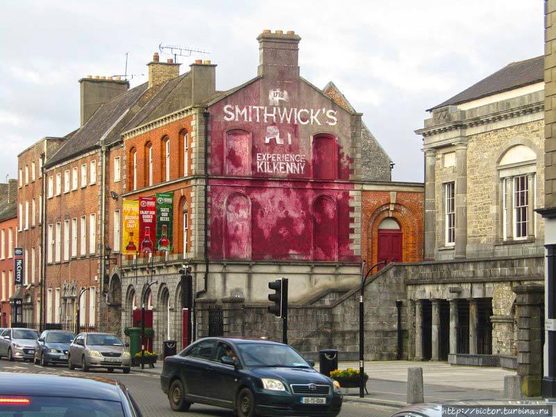 Glashare Ringfort (rath)Archaeological place · 276 yd
 Glashare CastleCastle, tower house · 279 yd
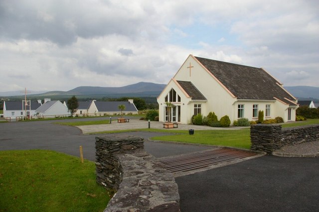 Church in GlashareChurch · 356 yd
 Enclosure in GlashareEnclosure · 408 yd
 Street fieldArchaeological place · 514 yd
 farm housefarm house · 1.0 mi
 CastleCastle, unclassified · 1.4 mi
 Cnoc SeanrathaMemorial · 3.0 mi
 DelaneyMemorial · 3.1 mi
 Clomantagh HillMountain / peak · 3.5 mi
 Big WoodWood · 4.6 mi
 Anker's IslandIsland · 7.0 mi