What is recorded here
Identified in centre-line testing (E4110) in advance of the M11 Gorey to Enniscorthy road scheme and set aside for resolution as Crane 1 (Hardy et al. 2010, 72). It is situated on a level landscape with an E-W section of a NE-SW stream c. 30m to the N. Full excavation (E4257) by C. Hardy recorded a spread of burnt and broken stone (dims 3.3m x 2.3m; T 0.3m), but no other features were recorded except a NW-SE post-medieval ditch that is marked on the 1924 ed. of the OS 6-inch map. This produced the only artefacts, including the handle of a black-glazed vessel. (Hull 2011; Hardy 2013)
Compiled by: Michael Moore
Date of upload: 28 November, 2013
Burnt mound in Crane is a Neolithic ritual or industrial site, dating to approximately 4000–2500 BCE. Its significance lies in providing evidence of early land use and possible ceremonial activity in the region.
The monument record does not grant public access. Check the route and ask the landowner before entering private land.
- What survives
- Recorded monument
Places near here
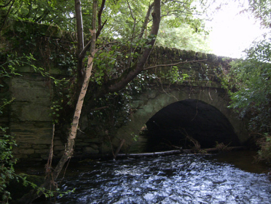 Crane Bridgebridge · 468 yd
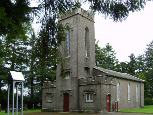 Saint Paul's Church (Clone)church/chapel · 989 yd
 Font in KillabegFont · 1125 yd
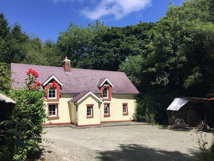 Hearth in ToomHearth · 1370 yd
 U.N. Peace MemorialMonument · 3.5 mi
 Battle of Vinegar HillMajor battlefield · 3.5 mi
 Duffry GateMemorial · 3.5 mi
 National 1798 CentreMuseum · 3.7 mi
 Daphney CastleCastle, unclassified · 4.7 mi
 CastleCastle, ringwork · 5.4 mi
 Pedunculate OakPedunculate Oak · 6.1 mi
 European LarchEuropean Larch · 6.8 mi