What is recorded here
Situated on the floodplain of the W-E River Suir, c. 290m S of the river and c. 110m S of St Anthony's Well (WA003-005----). A large area of charcoal (dims. 15m x 3m; T 0.5m) with a small amount of heat-shattered stone was noted during the laying of a Bord Gáis pipeline. (M. Gowan fieldnotes)
The above description is derived from the published 'Archaeological Inventory of County Waterford' (Dublin: Stationery Office, 1999). In certain instances the entries have been revised and updated in the light of recent research.
Date of upload/revision: 23 December 2008
Burnt mound in Coolnamuck Demesne is a Bronze Age ritual or industrial site, characterized by heat-shattered stones and charcoal. Its location near St Anthony's Well suggests possible ritual activity or water-related functions.
The monument record does not grant public access. Check the route and ask the landowner before entering private land.
- What survives
- Recorded monument
Places near here
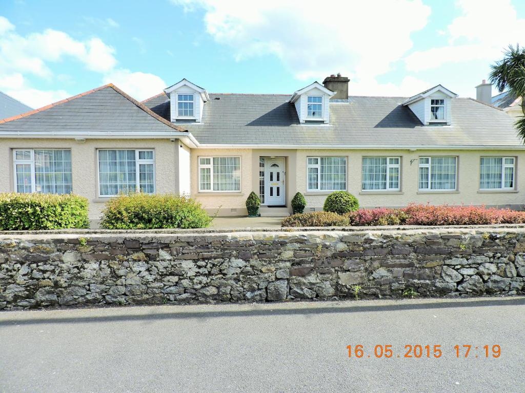 St Anthonys WellHoly well · 140 yd
 Burnt mound in Coolnamuck DemesneBurnt mound · 188 yd
 Coolnamuck Courtfolly · 413 yd
 Coolnamuck Castke (in Ruins)Castle, tower house · 1053 yd
 Corragina Millmill (water) · 1138 yd
 Coolnamuck Wood WestForest · 1.2 mi
 Ormonde CastleHeritage attraction · 1.8 mi
 CastleCastle, Anglo-Norman masonry castle · 1.8 mi
 Thomas KielyMemorial · 2.1 mi
 Churchtown WoodForest · 2.2 mi
 CarrigfenoaghMountain / peak · 2.8 mi
 Curraghdobbin HillMountain / peak · 4.2 mi