What is recorded here
Identified in centre-line testing (E4110) in advance of the M11 Gorey to Enniscorthy road scheme, and resolved by A. Mulcahy as Coolnahorna 4 (E4348) and was resolved during the cleaning stage (Hardy et al. 2010, 19-20). It is situated at the bottom of an E-facing slope with a small S-N stream c. 25m to the E. It proved to be two small spreads of broken and burnt stone (dims 1.5m x 0.7m; T 0.05m: 1.1m x 0.87m; T 0.15m) contained within a spread of compact grey clay (dims 2.7m x c. 2m; T 0.1m), but no features were associated with these deposits. (Hardy and Ruttle 2012; Mulcahy 2013)
Compiled by: Michael Moore
Date of upload: 28 November, 2013
Burnt mound in Coolnahorna is a Bronze Age ritual or industrial site, characterized by the presence of heat-shattered stones and associated features. Its significance lies in providing evidence of early land use and activity patterns in the region during the prehistoric period.
The monument record does not grant public access. Check the route and ask the landowner before entering private land.
- What survives
- Recorded monument
Places near here
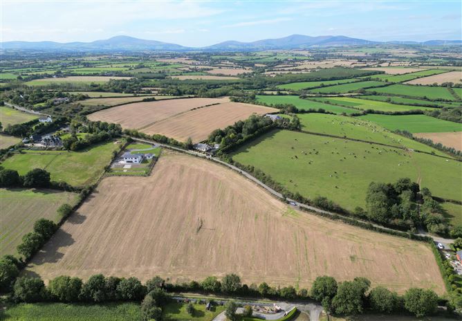 Habitation site in CoolnahornaHabitation site · 544 yd
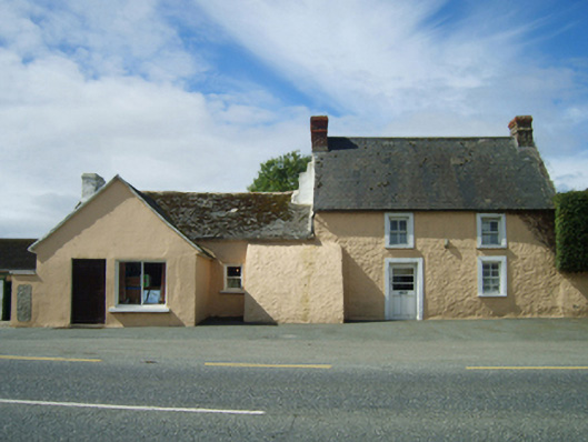 farm housefarm house · 828 yd
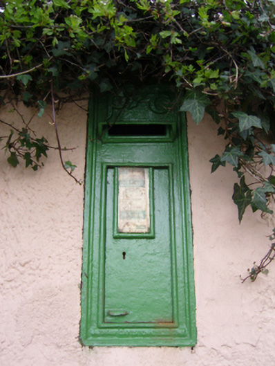 post boxpost box · 832 yd
 Fulacht fia in BallynahallinFulacht fia · 1055 yd
 U.N. Peace MemorialMonument · 2.5 mi
 Duffry GateMemorial · 2.6 mi
 Battle of Vinegar HillMajor battlefield · 2.7 mi
 National 1798 CentreMuseum · 3.0 mi
 Daphney CastleCastle, unclassified · 3.3 mi
 Pedunculate OakPedunculate Oak · 4.1 mi
 CastleCastle, ringwork · 4.7 mi
 European LarchEuropean Larch · 5.6 mi