What is recorded here
Fire and water built this small mound beside the stream. People heated stones, threw them into water, and made steam rise into the Mayo air. They may have cooked food, cleaned cloth, or prepared a bath. The stream cut the mound open, revealing black soil and broken stone. Distance separated this mound from its neighbour, yet both banks shared the same hot work.
In pasture, located on the E bank of a N-flowing stream. A narrow strip of level ground borders the stream beyond which the ground rises to NE.
A barely discernible D-shaped mound (c. 6-7m N-S; c. 5m E-W) with an eroding section face exposed in the side of the stream gully (Wth 2m; D 1.2m). A layer (D c. 0.40m) of characteristic heat-shattered stones in charcoal-rich soil is visible in the section face. There is another burnt mound (MA080-060----) c. 200m to S on the opposite bank of the same stream, and a rath (MA080-040----) is located c. 200m to E.
Compiled by: Jane O’Shaughnessy
Date of upload: 6 December 2021
Burnt mound, likely dating to the Neolithic or Bronze Age. Such features are commonly associated with ritual or industrial activities, though specific significance for this site is not recorded.
The monument record does not grant public access. Check the route and ask the landowner before entering private land.
- What survives
- Recorded monument
Places near here
 LismeelEnclosure · 542 yd
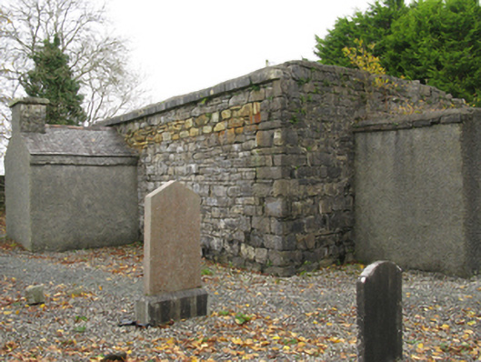 Ballinamore Church (Killedan)church/chapel · 641 yd
 IndicatedFairy fort / earthen ringfort · 661 yd
 CashlankeeghCastle, unclassified · 778 yd
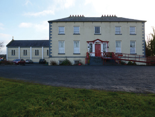 Ballinamore Housecountry house · 898 yd
 Carrowbeg WoodWood · 1079 yd
 I'll Send You The FareMemorial · 1.8 mi
 Kiltimagh MuseumMuseum · 1.9 mi
 CastleCastle, ringwork · 4.1 mi
 Thorn CaveCave · 5.0 mi
 Knock ShrineHeritage attraction · 5.3 mi
 East Mayo Brigade MonumentMemorial · 7.4 mi