What is recorded here
Located in pasture at the bottom of a shallow valley with a NW-SE stream c. 30m to the N. There is local knowledge of an area of burnt and broken stones found during land reclamation. It is not visible at ground level.
The above description is derived from the published 'Archaeological Inventory of County Waterford' (Dublin: Stationery Office, 1999). In certain instances the entries have been revised and updated in the light of recent research.
Date of upload/revision: 23 December 2008
Burnt mound in Carrowleigh is a prehistoric ritual or industrial site, typically dating to the Neolithic or Bronze Age, characterized by heat-shattered stones. Its significance lies in providing evidence of ancient thermal activity, possibly related to cooking, hide processing, or ceremonial practices.
The monument record does not grant public access. Check the route and ask the landowner before entering private land.
- What survives
- Recorded monument
Places near here
 Enclosure in CarrowleighEnclosure · 194 yd
 Grave YardGraveyard · 221 yd
 Bawn in RathgormuckBawn · 249 yd
 Rathgormuck National Schoolschool · 364 yd
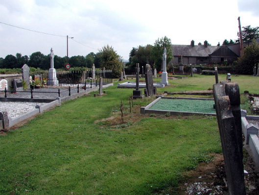 graveyard/cemeterygraveyard/cemetery · 661 yd
 MoteCastle, motte and bailey · 1.6 mi
 Coolnamuck Wood WestForest · 2.3 mi
 Churchtown WoodForest · 2.3 mi
 Curraheen TrailsVisitor information · 2.9 mi
 CarrigcoumMountain / peak · 3.1 mi
 The Boolas LoopWalking route · 3.2 mi
 The Boolas Linear TrailWalking route · 3.6 mi